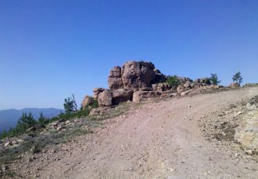
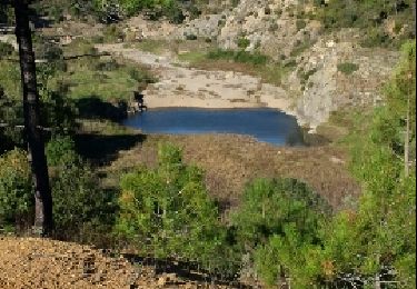
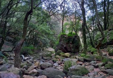
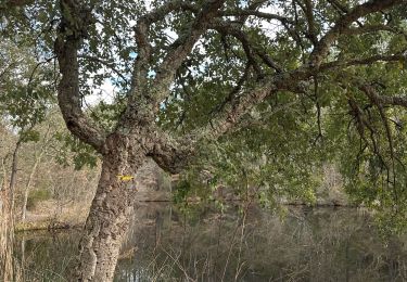
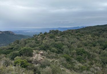
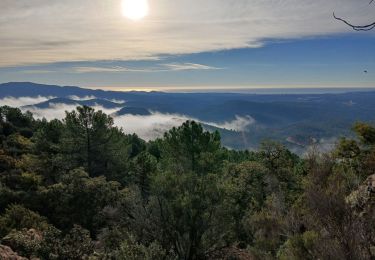
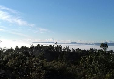
Randonnée Marche Bagnols-en-Forêt - z Bagnols 03-03-20 - Photo
 cb8310
cb8310

Utilisateur

© OpenStreetMap contributors
Longueur
Longueur
7,2 km
Altitude max
Altitude max
343 m
Dénivelé positif
Dénivelé positif
109 m
Km-Effort
Km-Effort  
8,7 km
Altitude min
Altitude min
296 m
Dénivelé négatif
Dénivelé négatif
111 m
Boucle
Boucle
Oui
Date de création :
2020-03-03 13:07:48.967
Dernière modification :
2020-03-04 08:44:15.498

(0 Avis)

Marche
Marche
2h05
Difficulté : Très facile

Scannez ce code QR pour ouvrir la randonnée dans l'application SityTrail

Application GPS de randonnée GRATUITE

Logo SityTrail SityTrail

IGN / Instituts géographiques

Télécharger SityTrail sur l'App Store Télécharger SityTrail sur Google Play

Logo SityTrail SityTrail World

Le monde est à vous

Télécharger SityTrail sur l'App Store Télécharger SityTrail sur Google Play Télécharger SityTrail sur Huawei AppGallery

À propos

Randonnée Marche de 7,2 km à découvrir à Provence-Alpes-Côte d'Azur, Var, Bagnols-en-Forêt. Cette randonnée est proposée par cb8310.

Description

randonnée tout au tour de Bagnols en forêt sans aucune difficulté
Profil altimétrique

Photos

Localisation

Pays :
France
Région :
Provence-Alpes-Côte d'Azur
Département/Province :
Var
Commune :
Bagnols-en-Forêt
Localité :
Unknown
Départ:(UTM)
315292 ; 4823363 (32T) N.

Randonnées à proximité

Randonnée Marche Bagnols-en-Forêt - La Colle du Rouet par le Castel Diaou - Le Muy - Photo
Marche
tracegps

Marche

Difficile
(2)
Bagnols-en-Forêt, Provence-Alpes-Côte d'Azur, Var, France
18,2 km | 27 km-effort
6h 0min
Oui
Randonnée Marche Fréjus - barage du malpasser - Photo
Marche
pierro06

Marche

Très facile
(1)
Fréjus, Provence-Alpes-Côte d'Azur, Var, France
5,1 km | 7,6 km-effort
1h 55min
Oui
Randonnée A pied Bagnols-en-Forêt - BAGNOLS EN FORET- Bois du défens DRI - Photo
A pied

A pied

Facile
(2)
Bagnols-en-Forêt, Provence-Alpes-Côte d'Azur, Var, France
9,3 km | 12,7 km-effort
2h 52min
Oui
Randonnée Marche Bagnols-en-Forêt - Gorges du Blavet au col de la pierre du coucou - Photo
Marche
GUIDE
nadinebondoux

Marche

Difficile
Bagnols-en-Forêt, Provence-Alpes-Côte d'Azur, Var, France
15,8 km | 22 km-effort
4h 44min
Oui
Randonnée Marche Bagnols-en-Forêt - Bagnols en Forêt, Pic de la Gardiette , Oppidum de La Forteresse - Photo
Marche
Pascal-83

Marche

Difficile
Bagnols-en-Forêt, Provence-Alpes-Côte d'Azur, Var, France
9,8 km | 14,3 km-effort
3h 15min
Oui
Randonnée Marche Bagnols-en-Forêt - Gorges du Blavet - Photo
Marche
GrouGary

Marche

Facile
Bagnols-en-Forêt, Provence-Alpes-Côte d'Azur, Var, France
11,3 km | 18,6 km-effort
5h 0min
Oui
Randonnée Marche Roquebrune-sur-Argens - La Bouverie - Gorges du Blavet - Grotte du Muéron - Photo
Marche
LtZIP

Marche

Facile
Roquebrune-sur-Argens, Provence-Alpes-Côte d'Azur, Var, France
7,9 km | 11,3 km-effort
2h 27min
Oui
Randonnée Marche Bagnols-en-Forêt - Bagnols en Forêt circuit des meules 03-05-24 - Photo
Marche
Christiancordin

Marche

Moyen
Bagnols-en-Forêt, Provence-Alpes-Côte d'Azur, Var, France
15,8 km | 22 km-effort
4h 14min
Oui
Randonnée Marche Tourrettes - Chêne chevelu et chêne crénelé - Photo
Marche
boulinevelyne

Marche

Moyen
Tourrettes, Provence-Alpes-Côte d'Azur, Var, France
7 km | 9,8 km-effort
2h 13min
Oui


Fermer
Mes abonnements