7,9 km | 9,9 km-effort
rando Nods
mig26
Utilisateur
Longueur
15 km
Altitude max
841 m
Dénivelé positif
414 m
Km-Effort
21 km
Altitude min
628 m
Dénivelé négatif
413 m
Boucle
Oui
Date de création :
2020-03-01 08:47:32.567
Dernière modification :
2020-03-01 14:41:23.313
4h35
Difficulté : Moyen
Application GPS de randonnée GRATUITE
À propos
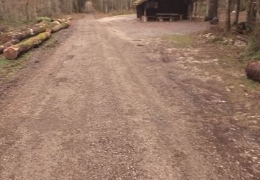
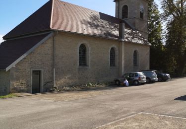
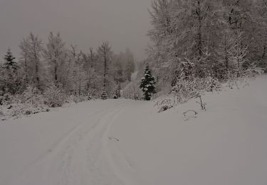
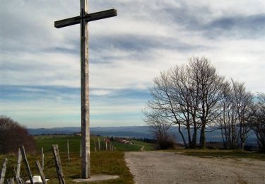
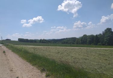
Randonnée Marche de 15 km à découvrir à Bourgogne-Franche-Comté, Doubs, Les Premiers-Sapins. Cette randonnée est proposée par mig26.
Localisation
Pays :
France
Région :
Bourgogne-Franche-Comté
Département/Province :
Doubs
Commune :
Les Premiers-Sapins
Localité :
Unknown
Départ:(Dec)
Départ:(UTM)
298596 ; 5218579 (32T) N.
Commentaires
Randonnées à proximité
chasnans
Marche
Très facile
Les Premiers-Sapins,
Bourgogne-Franche-Comté,
Doubs,
France
1h 35min
Oui
Fallerans - Guyans durnes
Marche
Facile
Fallerans,
Bourgogne-Franche-Comté,
Doubs,
France
18 km | 21 km-effort
2h 49min
Oui
ARC SOUS CICON "LA CÔTE"
Raquettes à neige
Facile
Arc-sous-Cicon,
Bourgogne-Franche-Comté,
Doubs,
France
9,4 km | 12,9 km-effort
2h 41min
Oui
hautepierre
Marche
Très facile
(1)
Les Premiers-Sapins,
Bourgogne-Franche-Comté,
Doubs,
France
3,6 km | 5,9 km-effort
1h 59min
Oui
rando raquettes Nods
Raquettes à neige
Très facile
Les Premiers-Sapins,
Bourgogne-Franche-Comté,
Doubs,
France
11,5 km | 0 m-effort
4h 26min
Oui
2013-12-21(Charmeux)
Marche
Facile
Les Premiers-Sapins,
Bourgogne-Franche-Comté,
Doubs,
France
4,8 km | 6,5 km-effort
1h 20min
Non
Le Crêt Monniot (1141 m) depuis Les Cordiers
Marche
Moyen
Arc-sous-Cicon,
Bourgogne-Franche-Comté,
Doubs,
France
11,3 km | 16,2 km-effort
3h 30min
Oui
Balade délaçons
V.T.T.
Très difficile
Aubonne,
Bourgogne-Franche-Comté,
Doubs,
France
41 km | 56 km-effort
3h 18min
Oui
moniot
Marche
Très facile
Arc-sous-Cicon,
Bourgogne-Franche-Comté,
Doubs,
France
61 km | 76 km-effort
5h 27min
Non