


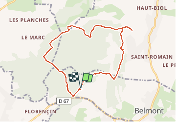

7,7 km | 10,3 km-effort

Utilisateur


Application GPS de randonnée GRATUITE
 SityTrail
IGN / Instituts géographiques
SityTrail World
Le monde est à vous
Randonnée Marche de 8,9 km à découvrir à Auvergne-Rhône-Alpes, Isère, Belmont. Cette randonnée est proposée par mireillemarmonier.
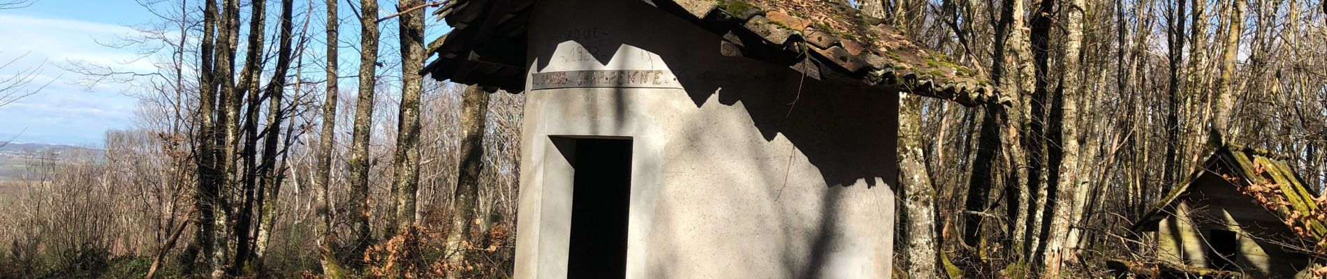
randonnée en forêt - la Pierre aiguë qui délimite 3 cantons ( grand -Lemps /Bourgoin /ST Jean de Bournay) la table d’orientation « au bois » à Biol le haut.


Marche
Marche
Marche
Marche
Marche

Course à pied
Marche

V.T.T.
V.T.T.