


13,9 km | 17,6 km-effort


Utilisateur


Application GPS de randonnée GRATUITE
 SityTrail
IGN / Instituts géographiques
SityTrail World
Le monde est à vous
Randonnée Marche de 10,3 km à découvrir à Pays de la Loire, Vendée, Chantonnay. Cette randonnée est proposée par neoroll44.
Départ : Jardin de la Franconie
Distance : 10,4 km
Signalétique : Sentier n°4 - Couleur Noire
A découvrir : - Puybelliard - L'église - La Tour - Le Manoir de Ponsay

Autre activité
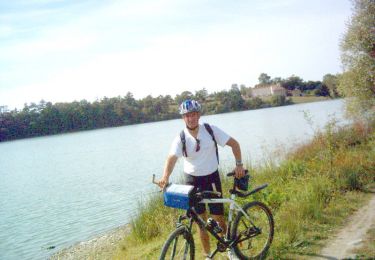
V.T.T.
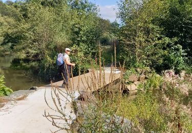
Marche

Marche
Marche

Vélo de route
Marche
Marche
Marche