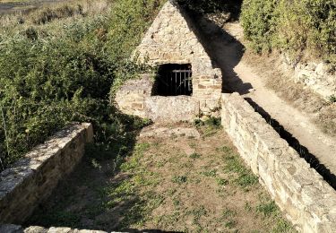
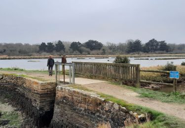
16,6 km | 17,6 km-effort
st Colombier
Ryry
Utilisateur
Longueur
8,7 km
Altitude max
25 m
Dénivelé positif
70 m
Km-Effort
9,6 km
Altitude min
0 m
Dénivelé négatif
70 m
Boucle
Oui
Date de création :
2020-02-28 13:30:24.413
Dernière modification :
2020-02-28 15:52:05.542
2h21
Difficulté : Très facile
Application GPS de randonnée GRATUITE
À propos
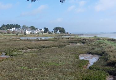
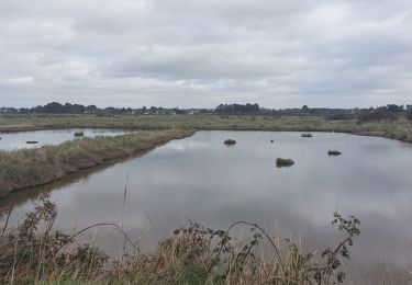
Randonnée Marche de 8,7 km à découvrir à Bretagne, Morbihan, Sarzeau. Cette randonnée est proposée par Ryry.
Localisation
Pays :
France
Région :
Bretagne
Département/Province :
Morbihan
Commune :
Sarzeau
Localité :
Unknown
Départ:(Dec)
Départ:(UTM)
521024 ; 5266035 (30T) N.
Commentaires
Randonnées à proximité
Tour du Golfe du Morbihan - 04 - St Armel, Le Hézo
Marche
Difficile
(1)
Saint-Armel,
Bretagne,
Morbihan,
France
4h 0min
Non
Île TASCON- Le Passage 56
Marche
Facile
(1)
Saint-Armel,
Bretagne,
Morbihan,
France
11,5 km | 12,1 km-effort
2h 31min
Oui
St Armel en passant par l'Ile de Tason (Boucle)
Marche
Moyen
(3)
Saint-Armel,
Bretagne,
Morbihan,
France
20 km | 22 km-effort
4h 49min
Oui
PR_56_Sarzeau_HA_08_Circuit1b_Les-Parcs-Ostreicoles_20240407
Marche
Très facile
Sarzeau,
Bretagne,
Morbihan,
France
8,2 km | 9,2 km-effort
2h 5min
Oui
PR_56_Sarzeau_EA_05_Circuit1b_Au-Coeur-De-La-Foret_20240202
Marche
Très facile
Sarzeau,
Bretagne,
Morbihan,
France
12,3 km | 13,2 km-effort
3h 0min
Oui
PR_56_St-Armel_AA_01_Circuit1b_Le-Marais-Salant-De-Lasne_20231222
Marche
Très facile
Saint-Armel,
Bretagne,
Morbihan,
France
12,6 km | 13,4 km-effort
2h 39min
Oui
PR_56_Sarzeau_CA_03_Circuit1b_Sur-les-Pas-De-Nos-Ducs_20230916
Marche
Très facile
Sarzeau,
Bretagne,
Morbihan,
France
12,2 km | 13,4 km-effort
3h 2min
Oui
56-St-Colombier-Ludré-Duer-10km
Marche
Facile
Saint-Armel,
Bretagne,
Morbihan,
France
9,6 km | 10,3 km-effort
2h 58min
Oui
PR_56_Le-Hezo_AA_01_Circuit1b_Des-Fontaines_20220123
Marche
Très facile
Le Hézo,
Bretagne,
Morbihan,
France
9,7 km | 10,6 km-effort
2h 11min
Oui