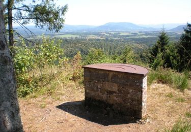
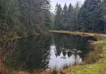
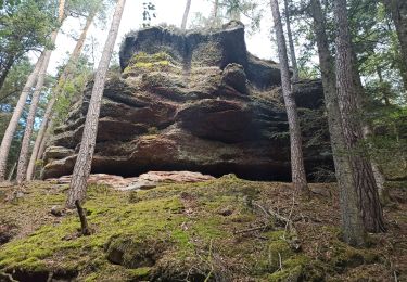
26 km | 33 km-effort
Affaya boucle innutile 1
Soline88
Utilisateur
Longueur
5,5 km
Altitude max
348 m
Dénivelé positif
71 m
Km-Effort
6,4 km
Altitude min
309 m
Dénivelé négatif
71 m
Boucle
Oui
Date de création :
2020-02-28 10:22:56.0
Dernière modification :
2020-02-28 10:46:25.112
21m
Difficulté : Facile
Application GPS de randonnée GRATUITE
À propos
Randonnée Randonnée équestre de 5,5 km à découvrir à Grand Est, Vosges, Sainte-Barbe. Cette randonnée est proposée par Soline88.
Description
Pas d’élastique
Stop un peu après petit ruisseau
Localisation
Pays :
France
Région :
Grand Est
Département/Province :
Vosges
Commune :
Sainte-Barbe
Localité :
Unknown
Départ:(Dec)
Départ:(UTM)
331860 ; 5362855 (32U) N.
Commentaires
Randonnées à proximité
VTT avec David et Joel au Col de la Chipotte 10/11/19
V.T.T.
Facile
Lachapelle,
Grand Est,
Meurthe-et-Moselle,
France
2h 55min
Oui
VTT autour de Saint-Benoit-la-Chipotte
V.T.T.
Moyen
Saint-Benoît-la-Chipotte,
Grand Est,
Vosges,
France
22 km | 29 km-effort
2h 30min
Oui
Corbė
Marche
Moyen
Saint-Benoît-la-Chipotte,
Grand Est,
Vosges,
France
7 km | 8,1 km-effort
1h 49min
Oui
Rando chipotte Seb et Marion
Randonnée équestre
Moyen
(1)
Saint-Benoît-la-Chipotte,
Grand Est,
Vosges,
France
15,2 km | 19,7 km-effort
3h 3min
Oui
DU RUISSEAU SAINT PIERRE AU HAUT DES ROCHES
Marche
Difficile
Lachapelle,
Grand Est,
Meurthe-et-Moselle,
France
10 km | 12,7 km-effort
2h 52min
Oui
la chipotte
Marche
Moyen
Sainte-Barbe,
Grand Est,
Vosges,
France
16,6 km | 21 km-effort
6h 26min
Oui
Ménil sur Belvitte 8 2020
V.T.T.
Moyen
Ménil-sur-Belvitte,
Grand Est,
Vosges,
France
53 km | 66 km-effort
4h 12min
Oui
2ème partie après midi retour sur thiaville sur Meurthe
Randonnée équestre
Très facile
Saint-Benoît-la-Chipotte,
Grand Est,
Vosges,
France
8,2 km | 10,5 km-effort
1h 22min
Non
La roche Perry
Marche
Moyen
Lachapelle,
Grand Est,
Meurthe-et-Moselle,
France
13,3 km | 16,7 km-effort
2h 44min
Oui