


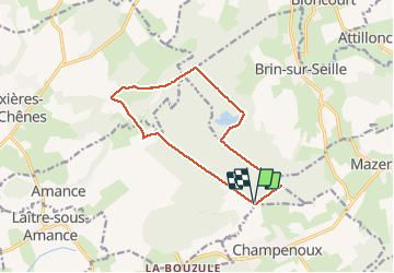

13,2 km | 16,9 km-effort


Utilisateur


Application GPS de randonnée GRATUITE
 SityTrail
IGN / Instituts géographiques
SityTrail World
Le monde est à vous
Randonnée Marche nordique de 11,6 km à découvrir à Grand Est, Meurthe-et-Moselle, Amance. Cette randonnée est proposée par DanielROLLET.
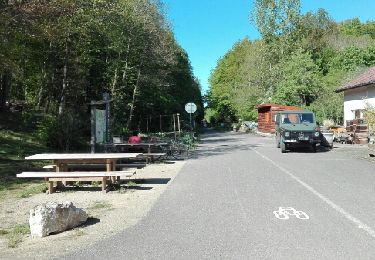
Marche nordique. Temps frais et humide - 9h50 à 10h55
Il neige juste à l'arrivée
Marche
Marche


sport

Marche nordique
Marche nordique

Marche
Marche nordique
Marche nordique
Marche nordique