


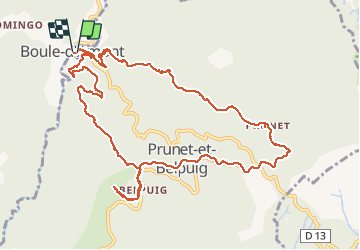

11,2 km | 16 km-effort

Utilisateur


Application GPS de randonnée GRATUITE
 SityTrail
IGN / Instituts géographiques
SityTrail World
Le monde est à vous
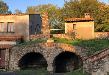
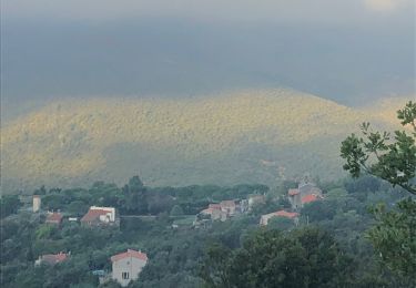
Randonnée Marche de 13,7 km à découvrir à Occitanie, Pyrénées-Orientales, Prunet-et-Belpuig. Cette randonnée est proposée par robertperello.
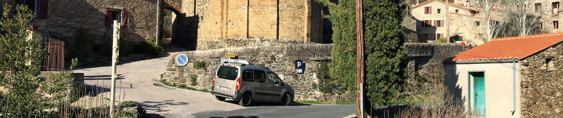
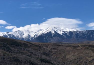
Belle rando montée longue au départ
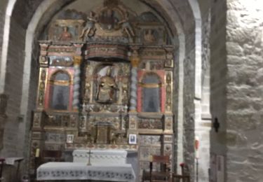
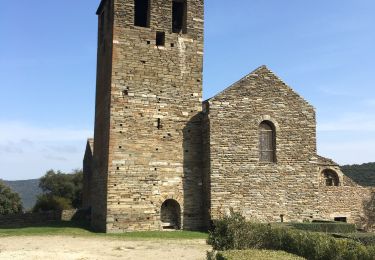
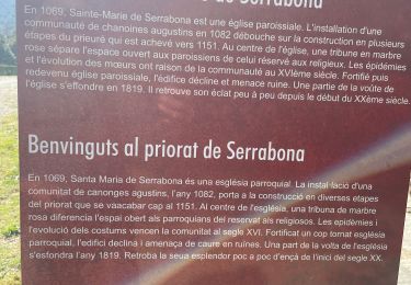
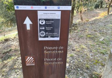
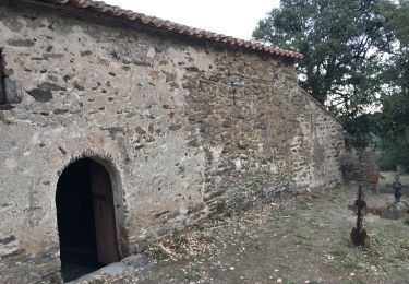
Eglise saint Vincent à belpuig et j’appelle de la trinité


Marche

Marche
Marche
Marche
Marche
Marche
Marche
Marche
Marche