Randonnée Marche Seillans - Lac de Meaulx - Photo
 Sugg
Sugg

Utilisateur

© OpenStreetMap contributors
Longueur
Longueur
8,3 km
Altitude max
Altitude max
288 m
Dénivelé positif
Dénivelé positif
148 m
Km-Effort
Km-Effort  
10,3 km
Altitude min
Altitude min
189 m
Dénivelé négatif
Dénivelé négatif
153 m
Boucle
Boucle
Oui
Date de création :
2019-03-22 17:00:21.732
Dernière modification :
2019-03-22 17:00:21.809

(0 Avis)

Marche
Marche
2h21
Difficulté : Facile

Scannez ce code QR pour ouvrir la randonnée dans l'application SityTrail

Application GPS de randonnée GRATUITE

Logo SityTrail SityTrail

IGN / Instituts géographiques

Télécharger SityTrail sur l'App Store Télécharger SityTrail sur Google Play

Logo SityTrail SityTrail World

Le monde est à vous

Télécharger SityTrail sur l'App Store Télécharger SityTrail sur Google Play Télécharger SityTrail sur Huawei AppGallery

À propos

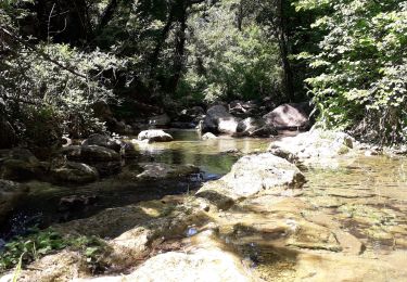
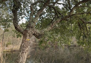
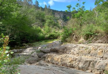
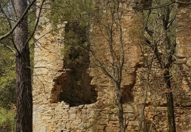
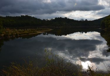
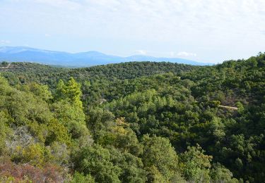
Randonnée Marche de 8,3 km à découvrir à Provence-Alpes-Côte d'Azur, Var, Seillans. Cette randonnée est proposée par Sugg.

Description

Départ D562 sous l'Eouvière
et aller retour au lac pratiquement vide.
Ce circuit est déjà balisé.

Profil altimétrique

Photos

Localisation

Pays :
France
Région :
Provence-Alpes-Côte d'Azur
Département/Province :
Var
Commune :
Seillans
Localité :
Unknown
Départ:(Dec)
Départ:(UTM)
308070 ; 4828032 (32T) N.

Randonnées à proximité

Randonnée Marche Callas - gorge de Penafore - Photo
Marche
marmotte83

Marche

Très facile
(1)
Callas, Provence-Alpes-Côte d'Azur, Var, France
1,1 km | 1,3 km-effort
1h 33min
Oui
Randonnée sport Bagnols-en-Forêt - Lac Rioutard Bagnols en forêt  - Photo
sport
alinetpierre

sport

Très facile
Bagnols-en-Forêt, Provence-Alpes-Côte d'Azur, Var, France
17,5 km | 23 km-effort
Inconnu
Oui
Randonnée Marche Seillans - Lac de Méaulx - Photo
Marche
Pascal-83

Marche

Moyen
Seillans, Provence-Alpes-Côte d'Azur, Var, France
7,3 km | 9,5 km-effort
2h 9min
Oui
Randonnée Marche Callas - La catalane ,Font Blanche, les Cabanons - Photo
Marche
boulinevelyne

Marche

Moyen
(1)
Callas, Provence-Alpes-Côte d'Azur, Var, France
10,3 km | 14,2 km-effort
3h 19min
Oui
Randonnée Marche Claviers - Claviers - St Arnoux - Photo
Marche
ETMU5496

Marche

Moyen
Claviers, Provence-Alpes-Côte d'Azur, Var, France
18 km | 26 km-effort
4h 2min
Oui
Randonnée Marche Seillans - La Pigne - Photo
Marche
avdem

Marche

Facile
Seillans, Provence-Alpes-Côte d'Azur, Var, France
16,3 km | 23 km-effort
5h 51min
Oui
Randonnée Marche Seillans - Le lac de Meaulx - Photo
Marche
boulinevelyne

Marche

Moyen
Seillans, Provence-Alpes-Côte d'Azur, Var, France
10,8 km | 13,7 km-effort
2h 26min
Oui
Randonnée Marche Fayence - St Paul en Forêt - Lac de Méaulx - Pont de l'Endre - Piste Colle Douce - Photo
Marche
LtZIP

Marche

Facile
Fayence, Provence-Alpes-Côte d'Azur, Var, France
16,9 km | 22 km-effort
5h 32min
Oui
Randonnée Marche Saint-Paul-en-Forêt - Saint Paul en Forêt - Lac de Méaulx - Photo
Marche
LtZIP

Marche

Moyen
(1)
Saint-Paul-en-Forêt, Provence-Alpes-Côte d'Azur, Var, France
14,8 km | 19,3 km-effort
4h 7min
Oui


Fermer
Mes abonnements