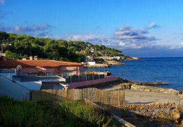
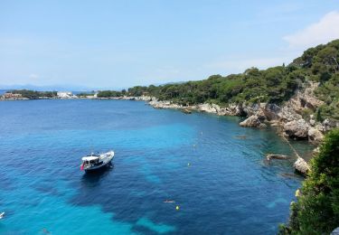
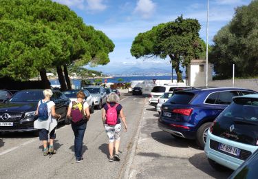
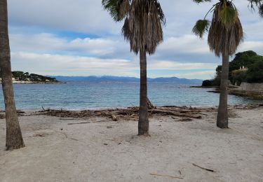
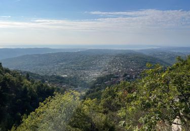
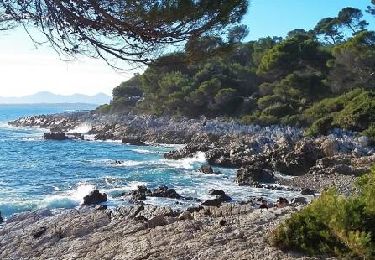
2,3 km | 2,8 km-effort
cap d'antibes
poisson1103
Utilisateur
Longueur
5,2 km
Altitude max
40 m
Dénivelé positif
67 m
Km-Effort
6,1 km
Altitude min
0 m
Dénivelé négatif
64 m
Boucle
Oui
Date de création :
2020-02-18 13:05:27.86
Dernière modification :
2020-02-18 15:26:19.054
2h20
Difficulté : Très facile
Application GPS de randonnée GRATUITE
À propos
Randonnée Marche de 5,2 km à découvrir à Provence-Alpes-Côte d'Azur, Alpes-Maritimes, Antibes. Cette randonnée est proposée par poisson1103.
Description
le littoral
Localisation
Pays :
France
Région :
Provence-Alpes-Côte d'Azur
Département/Province :
Alpes-Maritimes
Commune :
Antibes
Localité :
Unknown
Départ:(Dec)
Départ:(UTM)
349423 ; 4823943 (32T) N.
Commentaires
Randonnées à proximité
Circuit de L'anse de faux d'argent 2r-10-14
Marche
Très facile
(2)
Antibes,
Provence-Alpes-Côte d'Azur,
Alpes-Maritimes,
France
54min
Oui
Tour du Cap d'Antibes
A pied
Facile
Antibes,
Provence-Alpes-Côte d'Azur,
Alpes-Maritimes,
France
4,6 km | 5,3 km-effort
1h 12min
Oui
Cap d'Antibes - la Garoupe AR - 7.6km 85m 2h20 (0h25) - 2015 06 09
Marche
Facile
Antibes,
Provence-Alpes-Côte d'Azur,
Alpes-Maritimes,
France
7,6 km | 8,8 km-effort
2h 20min
Oui
z le cap d'Antibes 29-09-20
Marche
Très facile
Antibes,
Provence-Alpes-Côte d'Azur,
Alpes-Maritimes,
France
4,7 km | 5,4 km-effort
1h 58min
Oui
Tour du Cap d'Antibes
Marche
Très facile
(1)
Antibes,
Provence-Alpes-Côte d'Azur,
Alpes-Maritimes,
France
5,2 km | 6 km-effort
2h 3min
Oui
Grand tour du cap d'Antibes 13-02-2022
Marche
Moyen
Antibes,
Provence-Alpes-Côte d'Azur,
Alpes-Maritimes,
France
16,5 km | 19,6 km-effort
4h 30min
Oui
Littoral du cap d’Antibes
Marche
Très difficile
Antibes,
Provence-Alpes-Côte d'Azur,
Alpes-Maritimes,
France
53 km | 68 km-effort
6h 47min
Non
Le cap d'Antibes
Marche
Difficile
Antibes,
Provence-Alpes-Côte d'Azur,
Alpes-Maritimes,
France
16,5 km | 18,9 km-effort
4h 17min
Oui
notre dame des Afrique
Marche
Facile
Antibes,
Provence-Alpes-Côte d'Azur,
Alpes-Maritimes,
France
33 km | 59 km-effort
1h 9min
Non