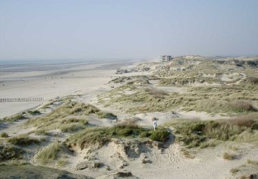
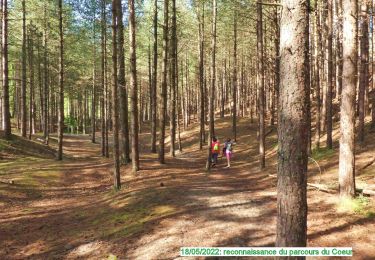
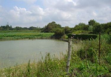
8,1 km | 8,7 km-effort
merlimont pres L.M.
Martelpierre
Utilisateur
Longueur
3 km
Altitude max
18 m
Dénivelé positif
13 m
Km-Effort
3,2 km
Altitude min
6 m
Dénivelé négatif
13 m
Boucle
Oui
Date de création :
2020-02-14 15:34:31.582
Dernière modification :
2020-02-14 16:24:43.597
41m
Difficulté : Facile
Application GPS de randonnée GRATUITE
À propos
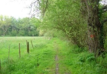
Randonnée Marche de 3 km à découvrir à Hauts-de-France, Pas-de-Calais, Merlimont. Cette randonnée est proposée par Martelpierre.
Localisation
Pays :
France
Région :
Hauts-de-France
Département/Province :
Pas-de-Calais
Commune :
Merlimont
Localité :
Unknown
Départ:(Dec)
Départ:(UTM)
401651 ; 5589765 (31U) N.
Commentaires
Randonnées à proximité
Le sentier de la forêt - Merlimont
Marche
Moyen
(1)
Merlimont,
Hauts-de-France,
Pas-de-Calais,
France
2h 0min
Oui
Sentier de la Baie d'Authie - Berck-sur-Mer
Marche
Moyen
(1)
Berck,
Hauts-de-France,
Pas-de-Calais,
France
11,1 km | 12 km-effort
2h 19min
Oui
8k-ParcoursDuCoeur2022
Marche
Moyen
(1)
Merlimont,
Hauts-de-France,
Pas-de-Calais,
France
8,2 km | 8,8 km-effort
2h 0min
Oui
Sentier du Petit Marais
A pied
Facile
Rang-du-Fliers,
Hauts-de-France,
Pas-de-Calais,
France
7,7 km | 8 km-effort
1h 49min
Non
Le marais de Balençon - Merlimont
Marche
Difficile
(1)
Merlimont,
Hauts-de-France,
Pas-de-Calais,
France
16,2 km | 17,7 km-effort
4h 0min
Oui
Sentier des Briqueteries - Saint Josse
Marche
Facile
(1)
Saint-Josse,
Hauts-de-France,
Pas-de-Calais,
France
7,4 km | 8,7 km-effort
2h 0min
Oui
Le sentier des dunes - Cucq
Marche
Difficile
Cucq,
Hauts-de-France,
Pas-de-Calais,
France
12,5 km | 13,7 km-effort
3h 10min
Oui
Les Bas Champs - Villiers
V.T.T.
Facile
Saint-Josse,
Hauts-de-France,
Pas-de-Calais,
France
10,8 km | 11,3 km-effort
1h 10min
Oui
Les Bas Champs - Villiers
Marche
Moyen
Saint-Josse,
Hauts-de-France,
Pas-de-Calais,
France
10,8 km | 11,3 km-effort
2h 40min
Oui