


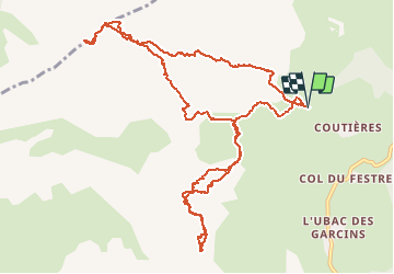

8,5 km | 15,9 km-effort

Utilisateur GUIDE


Application GPS de randonnée GRATUITE
 SityTrail
IGN / Instituts géographiques
SityTrail World
Le monde est à vous
Randonnée Ski de randonnée de 14,1 km à découvrir à Provence-Alpes-Côte d'Azur, Hautes-Alpes, Le Dévoluy. Cette randonnée est proposée par nadd73.
Départ Courtière, les Crises.
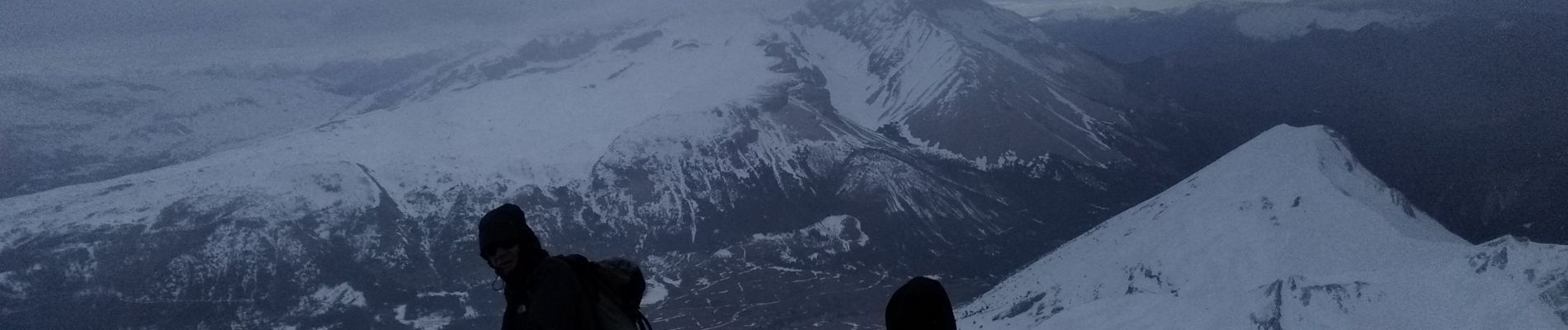
Couteaux utiles car neige dure.
Et crampons pour l'arête de La Rama.


Marche

Marche

Marche

Marche

Marche

Marche

Marche

Marche

Marche