


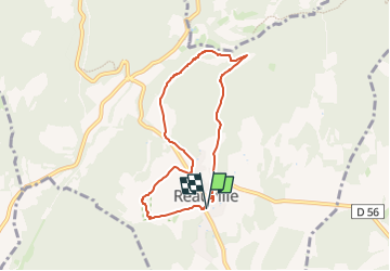

10,3 km | 14,1 km-effort

Utilisateur GUIDE


Application GPS de randonnée GRATUITE
 SityTrail
IGN / Instituts géographiques
SityTrail World
Le monde est à vous
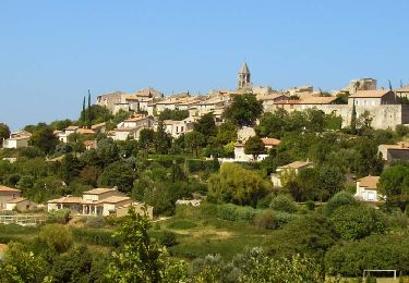
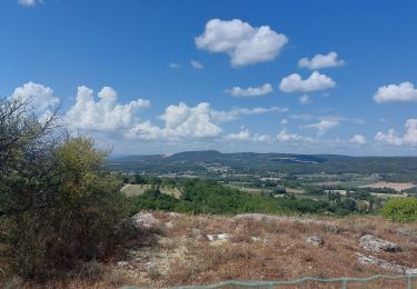
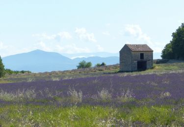
Randonnée Marche de 6,9 km à découvrir à Auvergne-Rhône-Alpes, Drôme, Réauville. Cette randonnée est proposée par chancha.
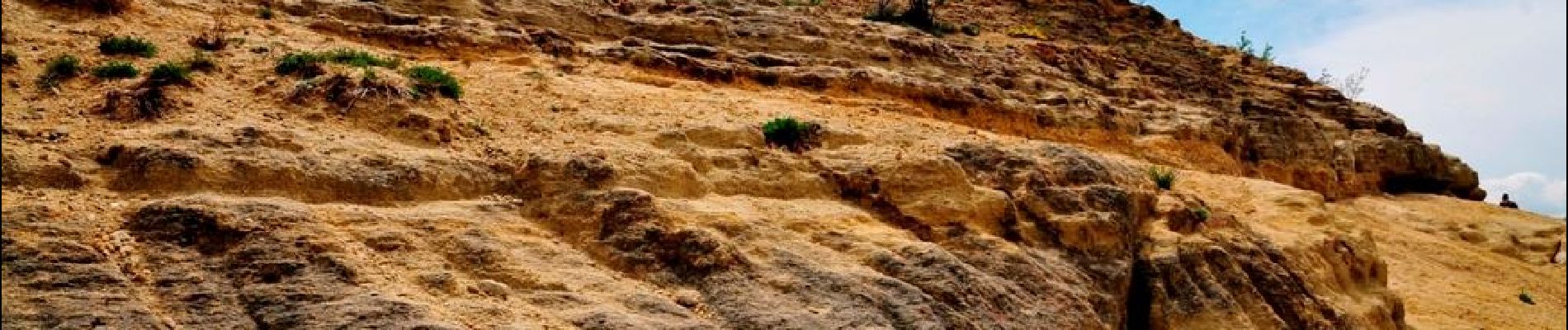
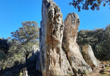
Le rocher de ND du Bon Secours
La chapelle de ND de la Famille
Belle vue sur l'abbaye d'Aiguebelle
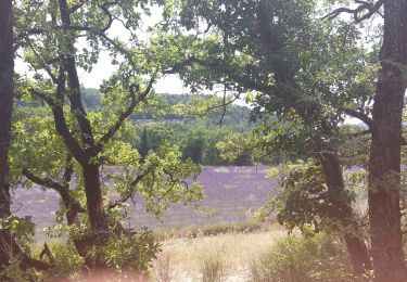
Le sentier botanique très intéressant
Une rando riche en découverte


Marche
Marche
Marche
Marche
Marche

Marche

Marche
Marche
Marche