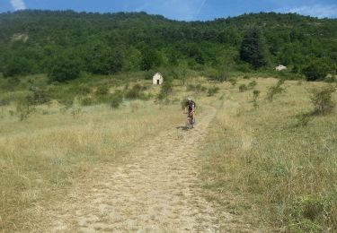
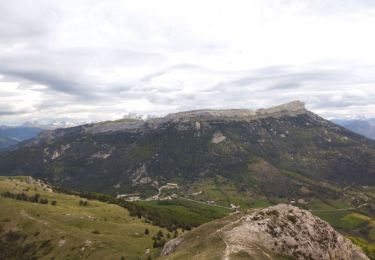
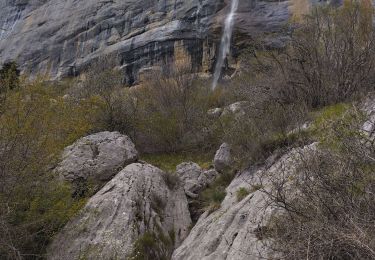
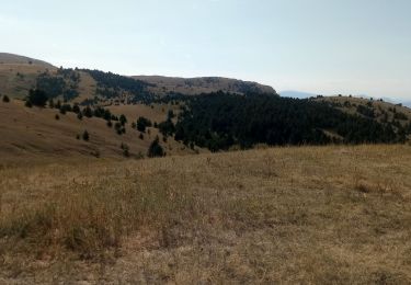
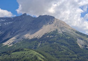
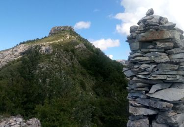
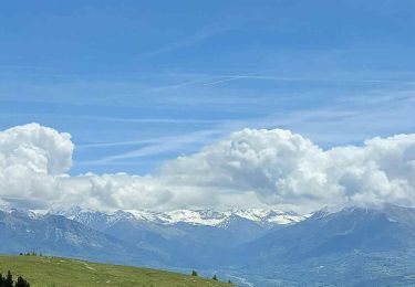
9,6 km | 15,6 km-effort
La Manche
jlv05
Utilisateur
Longueur
6,6 km
Altitude max
1803 m
Dénivelé positif
358 m
Km-Effort
11,4 km
Altitude min
1494 m
Dénivelé négatif
359 m
Boucle
Oui
Date de création :
2020-02-09 10:58:51.416
Dernière modification :
2020-02-11 06:33:03.128
2h38
Difficulté : Facile
Application GPS de randonnée GRATUITE
À propos
Randonnée Ski de randonnée de 6,6 km à découvrir à Provence-Alpes-Côte d'Azur, Hautes-Alpes, Manteyer. Cette randonnée est proposée par jlv05.
Localisation
Pays :
France
Région :
Provence-Alpes-Côte d'Azur
Département/Province :
Hautes-Alpes
Commune :
Manteyer
Localité :
Unknown
Départ:(Dec)
Départ:(UTM)
733174 ; 4933994 (31T) N.
Commentaires
Randonnées à proximité
R14 Pic de Ceuze
Marche
Moyen
(5)
Manteyer,
Provence-Alpes-Côte d'Azur,
Hautes-Alpes,
France
4h 30min
Oui
VTT17 - DE Ceuze à Furmeyer
V.T.T.
Moyen
(2)
Manteyer,
Provence-Alpes-Côte d'Azur,
Hautes-Alpes,
France
21 km | 28 km-effort
2h 8min
Non
ceuse9 avril 2012
V.T.T.
Moyen
(2)
Châteauneuf-d'Oze,
Provence-Alpes-Côte d'Azur,
Hautes-Alpes,
France
18,1 km | 26 km-effort
Inconnu
Oui
Tour et sommet petite Céüse
Trail
Moyen
Châteauneuf-d'Oze,
Provence-Alpes-Côte d'Azur,
Hautes-Alpes,
France
11,8 km | 22 km-effort
2h 10min
Oui
corniche de Ceüze tour
Marche
Moyen
Sigoyer,
Provence-Alpes-Côte d'Azur,
Hautes-Alpes,
France
15,7 km | 28 km-effort
4h 13min
Oui
Tour de Ceüze
Marche
Difficile
Manteyer,
Provence-Alpes-Côte d'Azur,
Hautes-Alpes,
France
11,2 km | 20 km-effort
4h 34min
Oui
Pic Chauve
Marche
Difficile
La Roche-des-Arnauds,
Provence-Alpes-Côte d'Azur,
Hautes-Alpes,
France
9,6 km | 21 km-effort
4h 42min
Oui
Petite Ceüze
Marche
Moyen
Sigoyer,
Provence-Alpes-Côte d'Azur,
Hautes-Alpes,
France
11,6 km | 22 km-effort
4h 54min
Oui
VTT23 Tour de Charance par Col de Gleize
V.T.T.
Difficile
La Roche-des-Arnauds,
Provence-Alpes-Côte d'Azur,
Hautes-Alpes,
France
38 km | 54 km-effort
2h 31min
Oui