


5,8 km | 6,3 km-effort


Utilisateur


Application GPS de randonnée GRATUITE
 SityTrail
IGN / Instituts géographiques
SityTrail World
Le monde est à vous
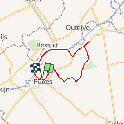
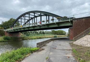
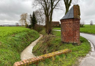
Randonnée Marche de 9,5 km à découvrir à Wallonie, Hainaut, Celles. Cette randonnée est proposée par jacques.moulin@hotmail.com.
Au départ de l'Eglise, boucle au Nord-Est de Pottes. A mi-chemin, petit demi-tour sur quelques centaines de mètres car le chemin qui rejoint l'Escaut était fraîchement labouré et impraticable ce jour de pluie.
A pied

A pied

Cheval

A pied

Marche
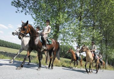
Cheval
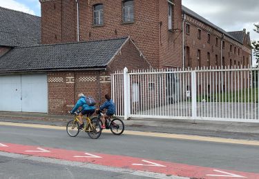
Marche
Marche
Marche