


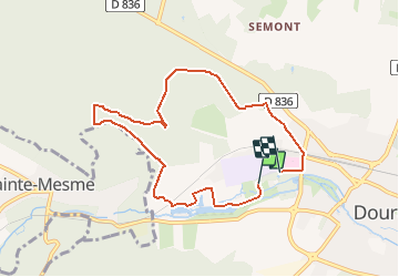

21 km | 25 km-effort


Utilisateur


Application GPS de randonnée GRATUITE
 SityTrail
IGN / Instituts géographiques
SityTrail World
Le monde est à vous
Randonnée Marche nordique de 7,5 km à découvrir à Île-de-France, Essonne, Dourdan. Cette randonnée est proposée par PascalROBINET.
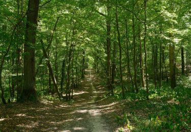
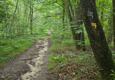
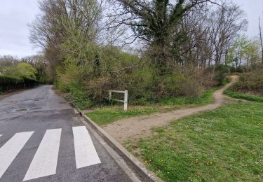
Pacours de Marche Nordique dans la forêt de DOURDAN 91, proche de l'hôpital. Passage près de l'Orge, étangs et fontaines bouillantes.
RDV au parking en contrebas de l'hôpital, au drapeau arrivée.

A pied
A pied
A pied

Marche nordique

Marche
Marche
A pied
Marche
Marche