


40 km | 53 km-effort


Utilisateur


Application GPS de randonnée GRATUITE
 SityTrail
IGN / Instituts géographiques
SityTrail World
Le monde est à vous
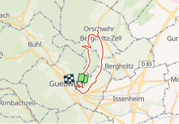
Randonnée Marche de 10,1 km à découvrir à Grand Est, Haut-Rhin, Guebwiller. Cette randonnée est proposée par E.BURCK.
ACCÈS :
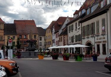
- Guebwiller
PARKING :
- derrière l'ancienne gare de Guebwiller
RESTAURATION :
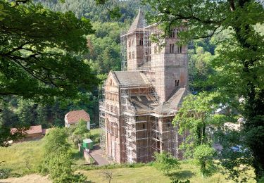
Caveau d'Orschwihr
Tél: 03 89 76 90 31

V.T.T.

Marche

Marche

Marche

Marche

Marche
Marche
Vélo de route