


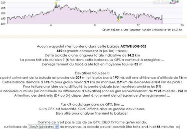
8,9 km | 10 km-effort


Utilisateur


Application GPS de randonnée GRATUITE
 SityTrail
IGN / Instituts géographiques
SityTrail World
Le monde est à vous
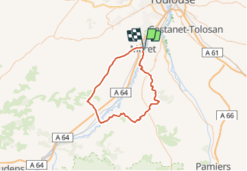
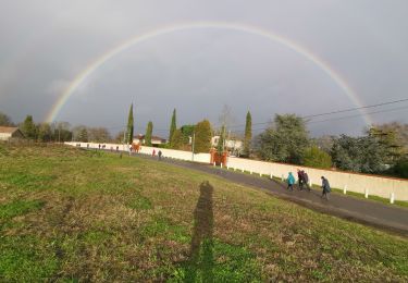
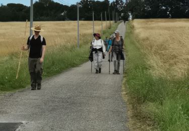
Randonnée Vélo de 89 km à découvrir à Occitanie, Haute-Garonne, Muret. Cette randonnée est proposée par Polo-31.
Muret - Côte d'Estantens - Beaumont sur Lèze - Esperce - Lezat - Latrape - Rieux Volvestre - St Julien - Saint Elix - Marignac - Berat - Le Lherm - Muret
Marche
Marche

V.T.T.

V.T.T.

Marche
Marche
V.T.T.
Marche
Marche