


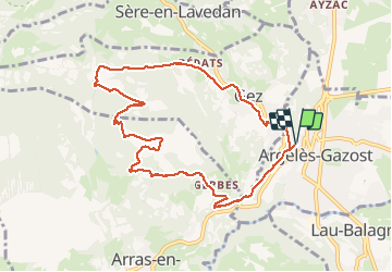

4,2 km | 6,8 km-effort

Utilisateur GUIDE


Application GPS de randonnée GRATUITE
 SityTrail
IGN / Instituts géographiques
SityTrail World
Le monde est à vous
Randonnée Marche de 10,2 km à découvrir à Occitanie, Hautes-Pyrénées, Argelès-Gazost. Cette randonnée est proposée par marmotte65.
malgré les 11 km et les 600 M cette ballade est a mon avis accessible a toute personne qui a un minimum de condition physique la montée régulière sur 6km est avalée facilement, et si le ciel est bleu que du bonheur en arrivant en haut.
départ du parking derrierela maison de retraite de Caneri à 9h sans forcer vous serez au mont de Gez a 12 h pour un PN bien mérité et un point de vue..............Allez y


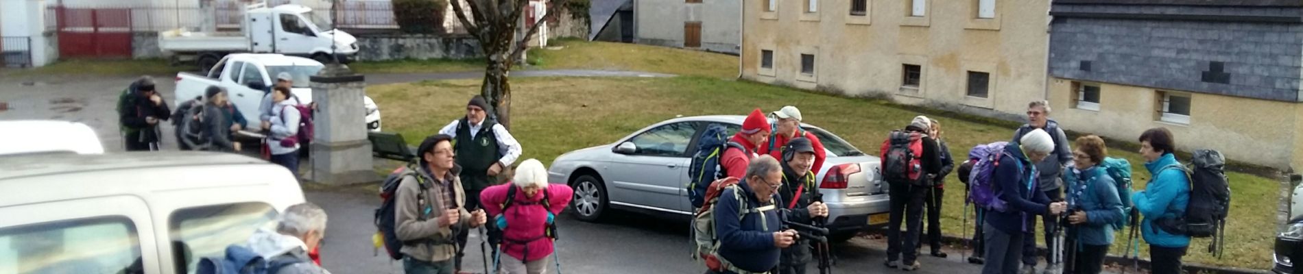
Marche

Marche

Vélo électrique

Marche
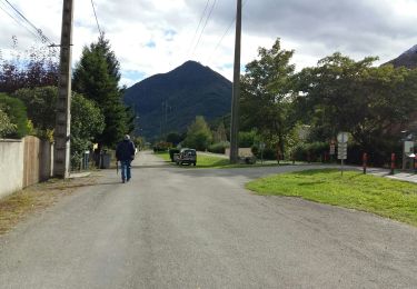
Marche

Marche
Marche
Marche
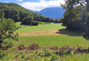
Marche