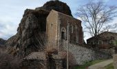

St Pons La Roche Chérie

thonyc
Utilisateur GUIDE

Longueur
7,9 km

Altitude max
454 m

Dénivelé positif
167 m

Km-Effort
10,2 km

Altitude min
344 m

Dénivelé négatif
167 m
Boucle
Oui
Date de création :
2020-01-29 13:32:01.929
Dernière modification :
2020-01-31 07:45:40.246
2h06
Difficulté : Très facile

Application GPS de randonnée GRATUITE
À propos
Randonnée Marche de 7,9 km à découvrir à Auvergne-Rhône-Alpes, Ardèche, Saint-Pons. Cette randonnée est proposée par thonyc.
Description
Joli village et hameau de La Roche Chérie dans son jus, intérêt géologique avec le neck et le plateau du Coiron basaltique, circuit majoritairement sur goudron mais peu de circulation sur route étroite. Balade agréable
Localisation
Pays :
France
Région :
Auvergne-Rhône-Alpes
Département/Province :
Ardèche
Commune :
Saint-Pons
Localité :
Unknown
Départ:(Dec)
Départ:(UTM)
625099 ; 4939020 (31T) N.
Commentaires
Randonnées à proximité
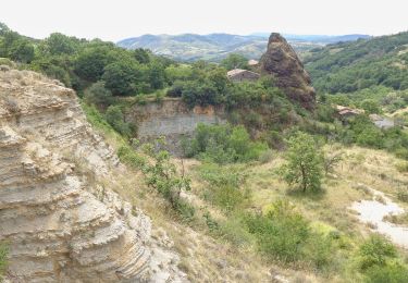
St-Pons" Roche-Cherie" 11km.


Marche
Difficile
(1)
Saint-Pons,
Auvergne-Rhône-Alpes,
Ardèche,
France

10,5 km | 15,5 km-effort
3h 31min
Oui
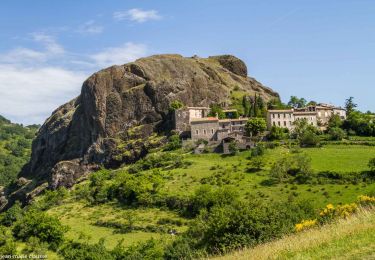
Alba côté Coiron 7km


Marche
Facile
(1)
Alba-la-Romaine,
Auvergne-Rhône-Alpes,
Ardèche,
France

7,1 km | 9,5 km-effort
2h 30min
Oui
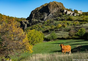
Sceautres-La carrière 15km.


Marche
Très difficile
(1)
Alba-la-Romaine,
Auvergne-Rhône-Alpes,
Ardèche,
France

14,7 km | 22 km-effort
4h 57min
Oui
07 claduergue 09.10.2022 reco


Marche
Difficile
Saint-Gineys-en-Coiron,
Auvergne-Rhône-Alpes,
Ardèche,
France

7,6 km | 11,7 km-effort
4h 17min
Oui
07 cascade claduegne


Marche
Difficile
Saint-Gineys-en-Coiron,
Auvergne-Rhône-Alpes,
Ardèche,
France

4,8 km | 6,8 km-effort
3h 2min
Oui
Aubignas Chenavari 17km


Marche
Difficile
Aubignas,
Auvergne-Rhône-Alpes,
Ardèche,
France

16,5 km | 25 km-effort
5h 20min
Oui

Aubignas tour coiron all mountain


V.T.T.
Difficile
(2)
Aubignas,
Auvergne-Rhône-Alpes,
Ardèche,
France

20 km | 30 km-effort
1h 54min
Non

COIRON boucle sympa


V.T.T.
Moyen
(2)
Sceautres,
Auvergne-Rhône-Alpes,
Ardèche,
France

7,4 km | 10,4 km-effort
1h 10min
Oui
Mirabel "Les Balmes de Montbrun 17km.


Marche
Très difficile
Saint-Jean-le-Centenier,
Auvergne-Rhône-Alpes,
Ardèche,
France

17,4 km | 26 km-effort
5h 53min
Oui


 SityTrail


