


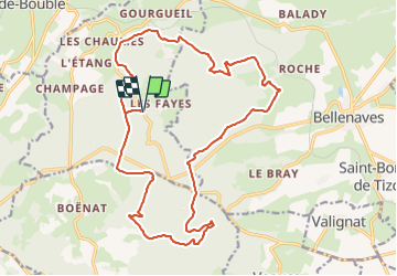

16,8 km | 22 km-effort

Utilisateur GUIDE


Application GPS de randonnée GRATUITE
 SityTrail
IGN / Instituts géographiques
SityTrail World
Le monde est à vous
Randonnée Marche de 21 km à découvrir à Auvergne-Rhône-Alpes, Allier, Coutansouze. Cette randonnée est proposée par jagarnier.
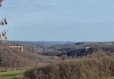
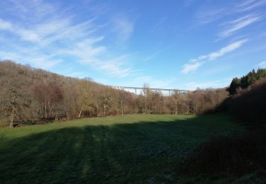
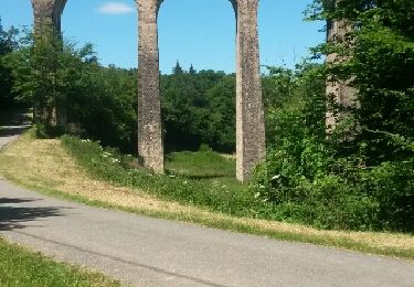
Longues traversées dans les célèbres hêtraies au cœur de la forêt domaniale des Colettes, descente dans la secrète vallée de la Veauce … une immersion dans le peuple des arbres.

Marche
V.T.T.
V.T.T.
Marche

Marche
Marche
Marche
Marche

Autre activité