


14,1 km | 21 km-effort


Utilisateur


Application GPS de randonnée GRATUITE
 SityTrail
IGN / Instituts géographiques
SityTrail World
Le monde est à vous
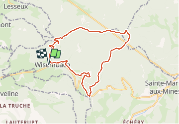
Randonnée Marche de 16,5 km à découvrir à Grand Est, Vosges, Wisembach. Cette randonnée est proposée par DanielROLLET.
2020 01 26 avec Marie. Trés beau temps mais froid.
Départ/arrivée mairie de Wisembach 10h25/15h45 soit 5h20 (30mn de moins que le 2 nov 2019)
Toujours pas d'abri, nirefuge, ni café.

Marche

Cheval

Marche
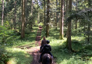
Randonnée équestre

Randonnée équestre

Randonnée équestre
Randonnée équestre

Marche

Marche