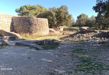
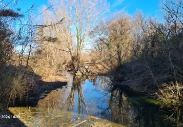
13,8 km | 17,2 km-effort
clarensac
jesusmarieclaire
Utilisateur
Longueur
5,9 km
Altitude max
199 m
Dénivelé positif
177 m
Km-Effort
8,2 km
Altitude min
73 m
Dénivelé négatif
178 m
Boucle
Oui
Date de création :
2020-01-21 12:56:21.209
Dernière modification :
2020-01-21 15:06:37.81
1h22
Difficulté : Très facile
Application GPS de randonnée GRATUITE
À propos
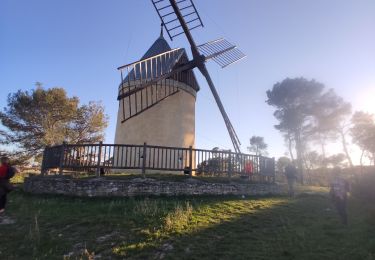
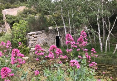
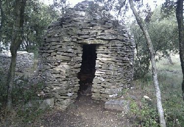
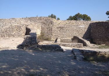
Randonnée Marche de 5,9 km à découvrir à Occitanie, Gard, Clarensac. Cette randonnée est proposée par jesusmarieclaire.
Localisation
Pays :
France
Région :
Occitanie
Département/Province :
Gard
Commune :
Clarensac
Localité :
Unknown
Départ:(Dec)
Départ:(UTM)
597834 ; 4853719 (31T) N.
Commentaires
Randonnées à proximité
Saint Côme et Maruéjols
Marche
Très facile
(1)
Saint-Côme-et-Maruéjols,
Occitanie,
Gard,
France
5h 30min
Oui
Langlade - Voie-verte Fontaine
Marche
Moyen
(1)
Langlade,
Occitanie,
Gard,
France
7,8 km | 9,1 km-effort
2h 4min
Oui
chemin des capitelles St Roch
Marche
Très facile
(1)
Caveirac,
Occitanie,
Gard,
France
8,8 km | 10,7 km-effort
5h 20min
Oui
Opidum de Nages
Marche
Facile
(2)
Saint-Dionisy,
Occitanie,
Gard,
France
6,8 km | 9,4 km-effort
2h 0min
Oui
30 nages et solorgues langlade
Marche
Moyen
Nages-et-Solorgues,
Occitanie,
Gard,
France
17 km | 22 km-effort
6h 4min
Oui
NAGES ET SOLORGUES - LA GRAND COMBE - 16.5Km - 04h30 - Dénivelé 340 m
Marche
Moyen
(1)
Langlade,
Occitanie,
Gard,
France
16,7 km | 22 km-effort
4h 34min
Oui
nages-langlades
Marche
Moyen
Nages-et-Solorgues,
Occitanie,
Gard,
France
14,8 km | 18,9 km-effort
5h 18min
Oui
Parignargues_ST_Mamert_Fons_Gagan
Marche
Moyen
Parignargues,
Occitanie,
Gard,
France
14,4 km | 16,3 km-effort
4h 46min
Oui
Saint Dionisy -Oppidum - Nages
Marche
Difficile
(1)
Saint-Dionisy,
Occitanie,
Gard,
France
11 km | 15,7 km-effort
3h 9min
Oui