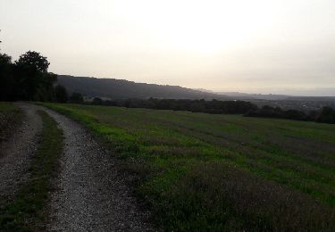
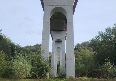
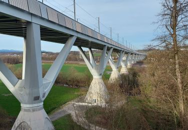
12 km | 16,4 km-effort
brevillers 26
jacthiry
Utilisateur
Longueur
8,7 km
Altitude max
438 m
Dénivelé positif
156 m
Km-Effort
10,8 km
Altitude min
360 m
Dénivelé négatif
152 m
Boucle
Oui
Date de création :
2020-01-16 12:47:11.41
Dernière modification :
2020-01-19 15:56:11.63
2h39
Difficulté : Très facile
Application GPS de randonnée GRATUITE
À propos
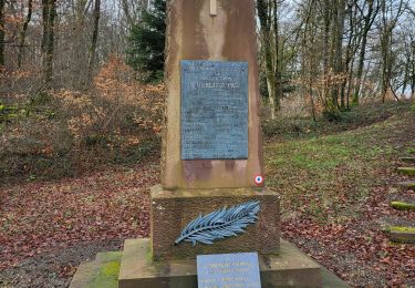
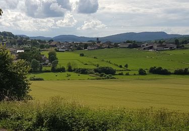
Randonnée Marche de 8,7 km à découvrir à Bourgogne-Franche-Comté, Haute-Saône, Brevilliers. Cette randonnée est proposée par jacthiry.
Localisation
Pays :
France
Région :
Bourgogne-Franche-Comté
Département/Province :
Haute-Saône
Commune :
Brevilliers
Localité :
Unknown
Départ:(Dec)
Départ:(UTM)
334514 ; 5271680 (32T) N.
Commentaires
Randonnées à proximité
La Pierre Plate - Héricourt
Marche
Difficile
(3)
Héricourt,
Bourgogne-Franche-Comté,
Haute-Saône,
France
3h 10min
Oui
Banvillars - forts du Hauts Bois et du Bois d'Oye
Marche
Très difficile
Banvillars,
Bourgogne-Franche-Comté,
Territoire-de-Belfort,
France
16,3 km | 21 km-effort
4h 40min
Oui
Echenans et son fort
Marche
Très difficile
Mandrevillars,
Bourgogne-Franche-Comté,
Haute-Saône,
France
14,8 km | 19,6 km-effort
4h 27min
Oui
Héricourt - Pierre Plate - Sentier de découverte
Marche
Moyen
Héricourt,
Bourgogne-Franche-Comté,
Haute-Saône,
France
12,3 km | 16,7 km-effort
2h 20min
Oui
Héricourt - fort Mont Vaudois - poudriére puis batterie d'Urcerey - Echenans
Marche
Moyen
Héricourt,
Bourgogne-Franche-Comté,
Haute-Saône,
France
16,4 km | 23 km-effort
3h 16min
Oui
nommay rando
Marche
Très facile
(1)
Dambenois,
Bourgogne-Franche-Comté,
Doubs,
France
13,7 km | 17,4 km-effort
3h 47min
Oui
de vezelois à pierre fontaine les blamonts
V.T.T.
Difficile
Trévenans,
Bourgogne-Franche-Comté,
Territoire-de-Belfort,
France
42 km | 59 km-effort
4h 46min
Non
marche buissonnière d'hericourt.
Marche nordique
Très facile
Héricourt,
Bourgogne-Franche-Comté,
Haute-Saône,
France
16,8 km | 22 km-effort
3h 23min
Oui
Bermont
Marche
Difficile
Bermont,
Bourgogne-Franche-Comté,
Territoire-de-Belfort,
France
10,2 km | 12,8 km-effort
2h 54min
Oui