


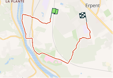

13,2 km | 18,4 km-effort


Utilisateur


Application GPS de randonnée GRATUITE
 SityTrail
IGN / Instituts géographiques
SityTrail World
Le monde est à vous
Randonnée Marche de 6,9 km à découvrir à Wallonie, Namur, Namur. Cette randonnée est proposée par brindacier.
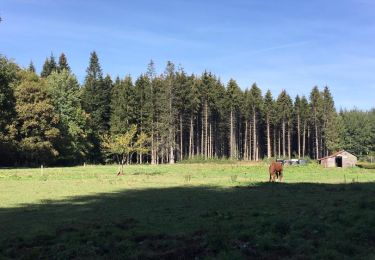
il gèle en.partant, nous décidons de faire 10km, du soleil et de la.pluie. de la boue et Zelie qui fait le schtroumpf :"C est quand qu' on arrive?"


Marche

Marche

Marche
Marche

Marche

Marche

Marche
Marche
Marche