


23 km | 27 km-effort


Utilisateur


Application GPS de randonnée GRATUITE
 SityTrail
IGN / Instituts géographiques
SityTrail World
Le monde est à vous
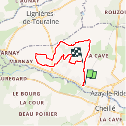
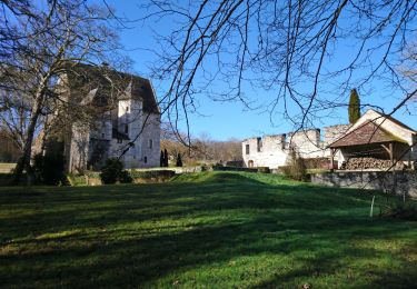
Randonnée Marche de 11,3 km à découvrir à Centre-Val de Loire, Indre-et-Loire, Azay-le-Rideau. Cette randonnée est proposée par LEMENIO.
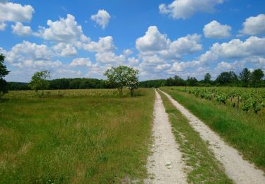
Départ Place de la gare (niveau 63 avenue de la gare). A faire de préférence au printemps (pommiers en fleurs). La première partie du parcours (sud / nord) se fait sur une route goudronnée. On arrive assez vite dans la zone des pommiers.
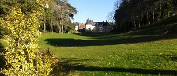
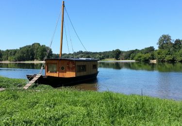
 - Photo 1")
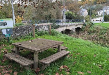
 - Photo 2")
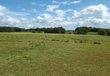
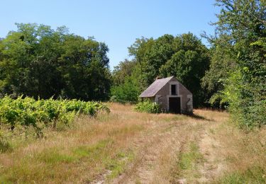
 - Photo 3")
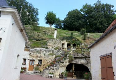
 - Photo 4")
 - Photo 5")
 - Photo 6")
Marche
Marche

Marche
Marche
Marche
Marche
Marche
Marche

Marche