12 km | 16,4 km-effort
jpjos argiesansurcereybuc
philibertjeanpierre
Utilisateur
Longueur
9,1 km
Altitude max
460 m
Dénivelé positif
207 m
Km-Effort
11,9 km
Altitude min
349 m
Dénivelé négatif
206 m
Boucle
Oui
Date de création :
2020-01-15 12:02:46.071
Dernière modification :
2020-01-15 14:27:39.394
2h24
Difficulté : Très facile
Application GPS de randonnée GRATUITE
À propos
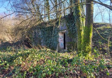
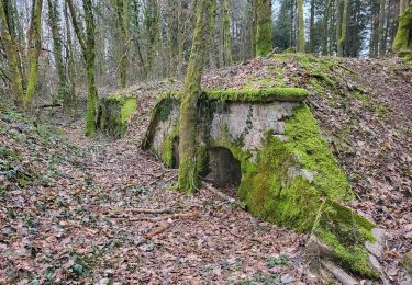
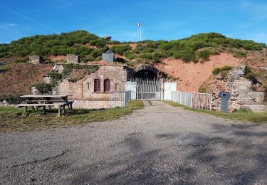
Randonnée Marche de 9,1 km à découvrir à Bourgogne-Franche-Comté, Territoire-de-Belfort, Argiésans. Cette randonnée est proposée par philibertjeanpierre.
Localisation
Pays :
France
Région :
Bourgogne-Franche-Comté
Département/Province :
Territoire-de-Belfort
Commune :
Argiésans
Localité :
Unknown
Départ:(Dec)
Départ:(UTM)
336214 ; 5274829 (32T) N.
Commentaires
Randonnées à proximité
La Pierre Plate - Héricourt
Marche
Difficile
(3)
Héricourt,
Bourgogne-Franche-Comté,
Haute-Saône,
France
3h 10min
Oui
Tour d'Essert
V.T.T.
Facile
(2)
Andelnans,
Bourgogne-Franche-Comté,
Territoire-de-Belfort,
France
29 km | 36 km-effort
2h 12min
Oui
VTT - Essert - Salbert - Vétrigne - Miotte - Citadelle Belfort - Essert
Vélo électrique
Difficile
Essert,
Bourgogne-Franche-Comté,
Territoire-de-Belfort,
France
42 km | 55 km-effort
4h 55min
Oui
VTT - Châlonvillars - Etobon - Ronchamp - Plancher-Bas - Malsaucy
Vélo électrique
Difficile
Châlonvillars,
Bourgogne-Franche-Comté,
Haute-Saône,
France
71 km | 90 km-effort
5h 50min
Oui
Banvillars - forts du Hauts Bois et du Bois d'Oye
Marche
Très difficile
Banvillars,
Bourgogne-Franche-Comté,
Territoire-de-Belfort,
France
16,3 km | 21 km-effort
4h 40min
Oui
Echenans et son fort
Marche
Très difficile
Mandrevillars,
Bourgogne-Franche-Comté,
Haute-Saône,
France
14,8 km | 19,6 km-effort
4h 27min
Oui
Randonnée des forts depuis Sévenans
Marche
Très difficile
Sevenans,
Bourgogne-Franche-Comté,
Territoire-de-Belfort,
France
19,9 km | 24 km-effort
5h 26min
Oui
Châlonvillars - Fort du Salbert - Evette-Salbert
Marche
Difficile
(1)
Châlonvillars,
Bourgogne-Franche-Comté,
Haute-Saône,
France
11 km | 15,8 km-effort
3h 36min
Oui
Châlonvillars - Fort Giromagny en passant au milieu des étangs
V.T.T.
Très difficile
Châlonvillars,
Bourgogne-Franche-Comté,
Haute-Saône,
France
40 km | 51 km-effort
3h 31min
Oui