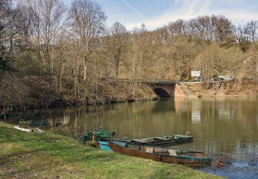
11,5 km | 16,7 km-effort
Autour de Tintange
papa-sanglier
Utilisateur
Longueur
11,4 km
Altitude max
473 m
Dénivelé positif
288 m
Km-Effort
15,3 km
Altitude min
364 m
Dénivelé négatif
284 m
Boucle
Oui
Date de création :
2014-12-10 00:00:00.0
Dernière modification :
2014-12-10 00:00:00.0
3h17
Difficulté : Facile
Application GPS de randonnée GRATUITE
À propos
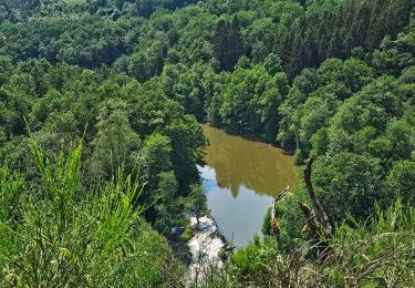
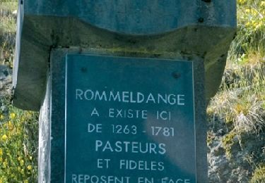
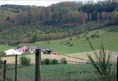
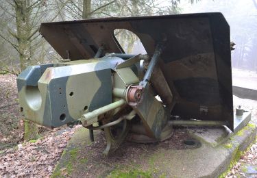
Randonnée Marche de 11,4 km à découvrir à Wallonie, Luxembourg, Fauvillers. Cette randonnée est proposée par papa-sanglier.
Description
Entretien par temps de pluie ;=)
Localisation
Pays :
Belgique
Région :
Wallonie
Département/Province :
Luxembourg
Commune :
Fauvillers
Localité :
Tintange
Départ:(Dec)
Départ:(UTM)
697719 ; 5528720 (31U) N.
Commentaires
Randonnées à proximité
RB-Lu-09_Tintange_via-racc-1
Marche
Facile
(2)
Fauvillers,
Wallonie,
Luxembourg,
Belgique
17 km | 24 km-effort
5h 4min
Oui
RB-Lu-09_Tintange
Marche
Difficile
(4)
Fauvillers,
Wallonie,
Luxembourg,
Belgique
25 km | 34 km-effort
7h 3min
Oui
Auto-Pédestre Boulaide 1
A pied
Facile
Boulaide,
Inconnu,
Canton Wiltz,
Luxembourg
6,9 km | 9,6 km-effort
2h 10min
Oui
Auto-Pédestre Boulaide 2
A pied
Facile
Boulaide,
Inconnu,
Canton Wiltz,
Luxembourg
7,5 km | 10,5 km-effort
2h 23min
Oui
Balade de la Strange
A pied
Moyen
Fauvillers,
Wallonie,
Luxembourg,
Belgique
15,8 km | 21 km-effort
4h 43min
Oui
Strainchamps 2
Marche
Très difficile
(1)
Fauvillers,
Wallonie,
Luxembourg,
Belgique
14,5 km | 19,6 km-effort
4h 27min
Oui
Strainchamps
Marche
Très difficile
(1)
Fauvillers,
Wallonie,
Luxembourg,
Belgique
16,3 km | 21 km-effort
4h 47min
Oui
Wikiloc Bodange (PVDB)
Marche
Très facile
(1)
Fauvillers,
Wallonie,
Luxembourg,
Belgique
7,8 km | 10,4 km-effort
Inconnu
Oui
Opgelet: een deel van het westelijke gedeelte staat aangegeven als privé terrein waardoor wij een andere weg hebben gevolgd