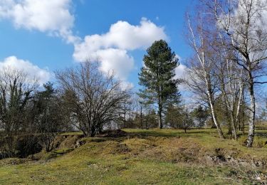
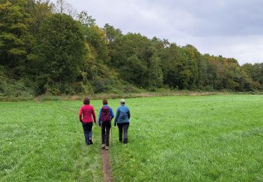
24 km | 30 km-effort
Longueville dauwtrip
kris.peirelinck@skynet.be
Utilisateur
Longueur
5,9 km
Altitude max
347 m
Dénivelé positif
180 m
Km-Effort
8,3 km
Altitude min
218 m
Dénivelé négatif
185 m
Boucle
Oui
Date de création :
2014-12-10 00:00:00.0
Dernière modification :
2014-12-10 00:00:00.0
1h44
Difficulté : Difficile
Application GPS de randonnée GRATUITE
À propos
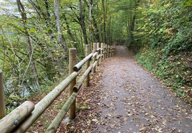
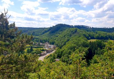
Randonnée Marche de 5,9 km à découvrir à Wallonie, Luxembourg, Durbuy. Cette randonnée est proposée par kris.peirelinck@skynet.be.
Localisation
Pays :
Belgique
Région :
Wallonie
Département/Province :
Luxembourg
Commune :
Durbuy
Localité :
Tohogne
Départ:(Dec)
Départ:(UTM)
674822 ; 5583691 (31U) N.
Commentaires
Randonnées à proximité
RF-Lu-02 - Variante Ravel - Au fils de l'Ourthe : Barvaux
Marche
Très facile
(6)
Durbuy,
Wallonie,
Luxembourg,
Belgique
10,5 km | 13,1 km-effort
2h 45min
Oui
Balade à Bomal sur Ourthe
Marche
Facile
(4)
Durbuy,
Wallonie,
Luxembourg,
Belgique
4,4 km | 5,9 km-effort
1h 20min
Oui
À vélo, autour de Durbuy
Vélo
Très facile
(2)
Durbuy,
Wallonie,
Luxembourg,
Belgique
39 km | 45 km-effort
Inconnu
Oui
RL-GG-15_Sy_Barvaux
Marche
Très difficile
(1)
Ferrières,
Wallonie,
Liège,
Belgique
18,9 km | 26 km-effort
5h 58min
Non
Autour de Tohogne (Durbuy)
Marche
Moyen
(1)
Durbuy,
Wallonie,
Luxembourg,
Belgique
15,7 km | 19,7 km-effort
3h 42min
Oui
Marche ADEPS Septon 2022 - 20KM
Marche
Moyen
(1)
Durbuy,
Wallonie,
Luxembourg,
Belgique
20 km | 25 km-effort
3h 55min
Oui
RL-GG-36_Bomal_Marloie
Marche
Moyen
(2)
Durbuy,
Wallonie,
Luxembourg,
Belgique
43 km | 52 km-effort
11h 51min
Non
overgroot deel is privé terrein plus een deel is geen wandelpad en zeer steil.