


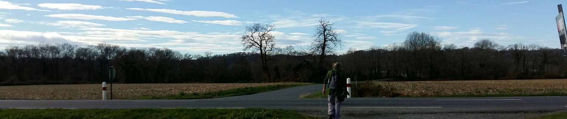
balisage la boucle de la vallée de l'uzan fait 2305725 - Photo 21")
balisage la boucle de la vallée de l'uzan fait 2305725 - Photo 22")
balisage la boucle de la vallée de l'uzan fait 2305725 - Photo 23")

15,6 km | 16,5 km-effort

Utilisateur GUIDE


Application GPS de randonnée GRATUITE
 SityTrail
IGN / Instituts géographiques
SityTrail World
Le monde est à vous
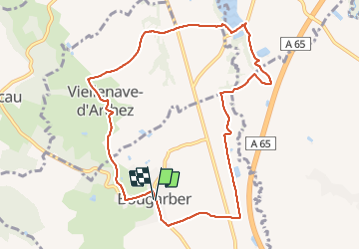
Randonnée Marche de 10,6 km à découvrir à Nouvelle-Aquitaine, Pyrénées-Atlantiques, Bougarber. Cette randonnée est proposée par marmotte65.
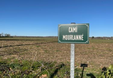
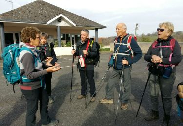
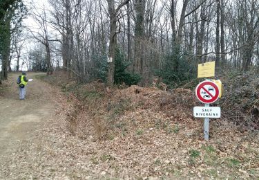
important travail de restauration à faire malgre le travail de balisage (lames cassées manquante , croisement avec d'autres boucles....
balisage la boucle de la vallée de l'uzan fait 2305725 - Photo 1")
balisage la boucle de la vallée de l'uzan fait 2305725 - Photo 2")
balisage la boucle de la vallée de l'uzan fait 2305725 - Photo 3")
balisage la boucle de la vallée de l'uzan fait 2305725 - Photo 4")
balisage la boucle de la vallée de l'uzan fait 2305725 - Photo 5")
balisage la boucle de la vallée de l'uzan fait 2305725 - Photo 6")
balisage la boucle de la vallée de l'uzan fait 2305725 - Photo 7")
balisage la boucle de la vallée de l'uzan fait 2305725 - Photo 8")
balisage la boucle de la vallée de l'uzan fait 2305725 - Photo 9")
balisage la boucle de la vallée de l'uzan fait 2305725 - Photo 10")
balisage la boucle de la vallée de l'uzan fait 2305725 - Photo 11")
balisage la boucle de la vallée de l'uzan fait 2305725 - Photo 12")
balisage la boucle de la vallée de l'uzan fait 2305725 - Photo 13")
balisage la boucle de la vallée de l'uzan fait 2305725 - Photo 14")
balisage la boucle de la vallée de l'uzan fait 2305725 - Photo 15")
balisage la boucle de la vallée de l'uzan fait 2305725 - Photo 16")
balisage la boucle de la vallée de l'uzan fait 2305725 - Photo 17")
balisage la boucle de la vallée de l'uzan fait 2305725 - Photo 18")
balisage la boucle de la vallée de l'uzan fait 2305725 - Photo 19")
balisage la boucle de la vallée de l'uzan fait 2305725 - Photo 20")
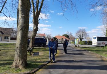
23 photos au total. Cliquez sur une photo pour les afficher toutes dans la galerie.

V.T.T.
Marche
Marche
Marche
A pied
Voiture
Marche
V.T.T.

A pied