


12 km | 16,4 km-effort


Utilisateur


Application GPS de randonnée GRATUITE
 SityTrail
IGN / Instituts géographiques
SityTrail World
Le monde est à vous
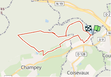
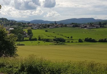
Randonnée A pied de 9,1 km à découvrir à Bourgogne-Franche-Comté, Haute-Saône, Coisevaux. Cette randonnée est proposée par SOYARD.
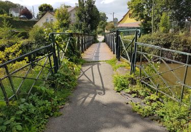
--Départ de l'ETANG RECHAL avec stationnement des voitures.
--Prendre la montée (100 m) et continuer en montée douce le chemin carrossable sur la droite (environ 1 km). A la clairière continuer tout droit en montée douce sur le chemin terreux environ 800 m.
--Prendre le sentier à droite (90°) après 400 m descente douce sur 400 m.
--Prendre le sentier à droite (90°) 300m.
--Arrivée sur le chemin carrossable. Prendre en face la montée (raide) sur 150 m. Continuer le chemin jusqu'à la coupe CHAMPEY n° 22, prendre à gauche le sentier (descente sur 800 m). Prendre à gauche (90°) sur 200 m,
--Arrivée sur chemin carrossable, prendre à droite vers Champey sur 500 m, puis à gauche (90°) vers la cabane de chasse. Continuer tout droit sur le sentier des Ducs GR 9, vers le moulin des Ronces.
--Prendre à gauche (90°) sur le chemin ramenant à l'ETANG RECHAL.
Marche

Marche
Marche
Marche
Marche
Marche
Marche
Marche
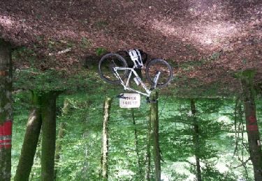
V.T.T.