


8,6 km | 12 km-effort

Utilisateur GUIDE


Application GPS de randonnée GRATUITE
 SityTrail
IGN / Instituts géographiques
SityTrail World
Le monde est à vous
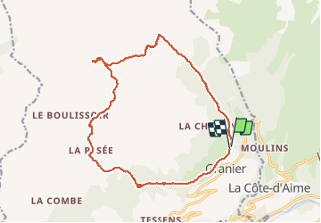
Randonnée Ski de randonnée de 18,7 km à découvrir à Auvergne-Rhône-Alpes, Savoie, Aime-la-Plagne. Cette randonnée est proposée par nadd73.
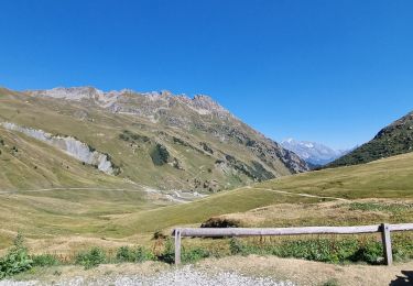
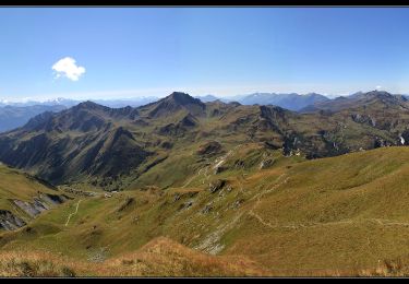
De Granier après le télésiège nous avons pris le GR du Beaufortain jusqu'à Laval et Pré jeune. ensuite suivre le ruisseau. la montée dans le couloir Est est exposé mieux prendre l'arête NE qui est souvent tracée. Crampons nécessaires suivant la neige.
Descente dans le couloir repeauter pour monter au col de corne noire.
Descente sur Fruit et la Pesée.
Au Chapieu il est préférable de prendre le chemin qui mène au milieu du télésiège et il restera plus qu'à descendre à la voiture.


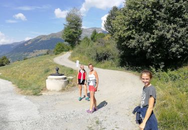
Marche

Marche

Marche

Marche
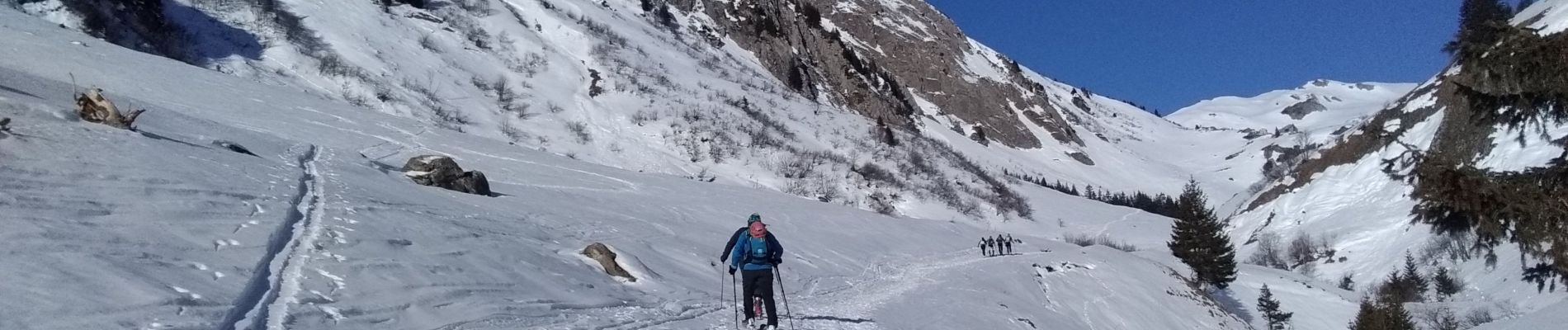
Ski de randonnée
Marche

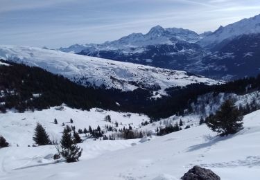
Raquettes à neige
Marche
Marche