


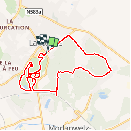


18,8 km | 22 km-effort


Utilisateur


Application GPS de randonnée GRATUITE
 SityTrail
IGN / Instituts géographiques
SityTrail World
Le monde est à vous
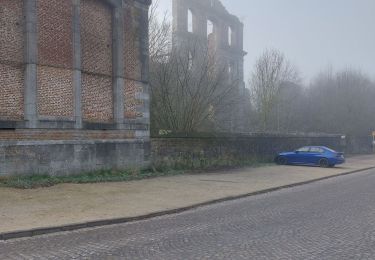
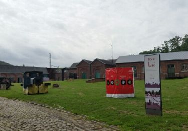
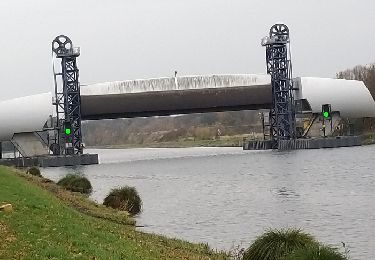
Randonnée Marche de 8,7 km à découvrir à Wallonie, Hainaut, Manage. Cette randonnée est proposée par calofrancis.
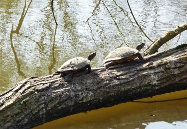
Un parc, légué à l'état par la famille Warocqué, ou les arbres remarquables côtoient des œuvres d'art du siècle passé.
__www.marcheursdumardi.be___
Marche
Marche
Marche
A pied
Vélo
Vélo

Marche

Marche nordique
Marche