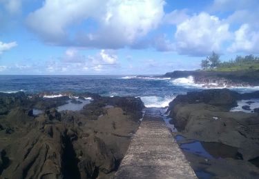
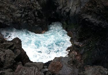
3,4 km | 3,8 km-effort
boucle cascade bras rouge
GilbertLP
Utilisateur
Longueur
61 km
Altitude max
2184 m
Dénivelé positif
4864 m
Km-Effort
121 km
Altitude min
42 m
Dénivelé négatif
3518 m
Boucle
Non
Date de création :
2019-11-01 12:09:39.489
Dernière modification :
2020-01-07 05:05:25.561
10h08
Difficulté : Difficile
Application GPS de randonnée GRATUITE
À propos
Randonnée Marche de 61 km à découvrir à La Réunion, Inconnu, Saint-Joseph. Cette randonnée est proposée par GilbertLP.
Localisation
Pays :
France
Région :
La Réunion
Département/Province :
Inconnu
Commune :
Saint-Joseph
Localité :
Unknown
Départ:(Dec)
Départ:(UTM)
359687 ; 7635045 (40K) S.
Commentaires
Randonnées à proximité
Cap Jaune randonnée famille
Marche
Très facile
Saint-Joseph,
La Réunion,
Inconnu,
France
3,3 km | 4,4 km-effort
2h 0min
Oui
La Réunion - Boucle du Piton Babet à Saint-Joseph
Marche
Très facile
(1)
Saint-Joseph,
La Réunion,
Inconnu,
France
3,2 km | 4,7 km-effort
1h 1min
Oui
Langevin 18 03 2015
Marche
Facile
Saint-Joseph,
La Réunion,
Inconnu,
France
4,8 km | 5,5 km-effort
3h 2min
Non
cap jaune
Marche
Très facile
Saint-Joseph,
La Réunion,
Inconnu,
France
4,9 km | 6,6 km-effort
1h 18min
Oui
st joseph - st Philippe par la route forestière
V.T.T.
Moyen
Saint-Joseph,
La Réunion,
Inconnu,
France
42 km | 57 km-effort
4h 30min
Non
Le tour des pitons Lambert et Papangues
Marche
Facile
Saint-Joseph,
La Réunion,
Inconnu,
France
10,3 km | 14,5 km-effort
2h 18min
Oui
A/R Terre rouge, Le récif
Marche
Très facile
Saint-Joseph,
La Réunion,
Inconnu,
France
5 km | 6,8 km-effort
1h 33min
Oui
piton vincendo - cap poisson d'ail
Marche
Facile
Saint-Joseph,
La Réunion,
Inconnu,
France
5,3 km | 7,2 km-effort
1h 30min
Oui