


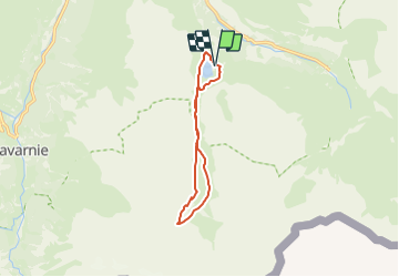

19,8 km | 35 km-effort


Utilisateur GUIDE


Application GPS de randonnée GRATUITE
 SityTrail
IGN / Instituts géographiques
SityTrail World
Le monde est à vous
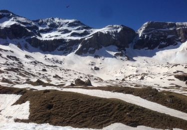
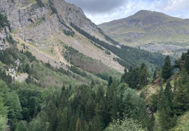
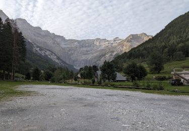
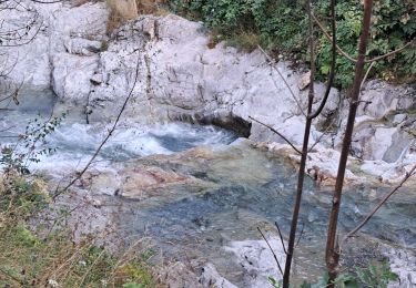
Randonnée A pied de 10,5 km à découvrir à Occitanie, Hautes-Pyrénées, Gavarnie-Gèdre. Cette randonnée est proposée par marmotte65.
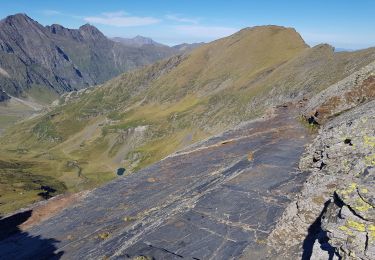
trace faite sur l’écran avec pour modèle une rando faite avec MD en 2012 Octobre aller faire une reco pour un G3

Marche

Marche
Marche

Marche
Marche
Marche
Marche
Marche
Marche