


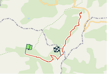


16,3 km | 27 km-effort

Utilisateur


Application GPS de randonnée GRATUITE
 SityTrail
IGN / Instituts géographiques
SityTrail World
Le monde est à vous
Randonnée Marche de 8,9 km à découvrir à Provence-Alpes-Côte d'Azur, Alpes-de-Haute-Provence, Uvernet-Fours. Cette randonnée est proposée par BLANCHET.
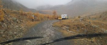
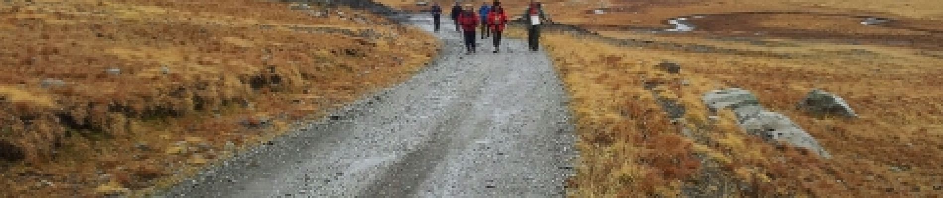
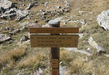
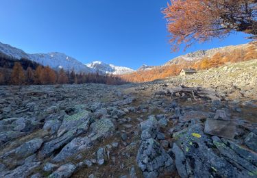
Départ au chalet de la Moutière, repas sous un blockhaus de la ligne Maginot.
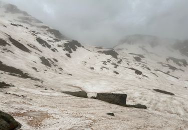
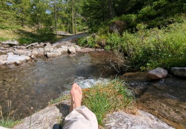
Rando sous la pluie.


Marche

Marche

Marche

Marche
A pied
Marche
Marche
Marche
Marche