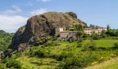

Alba côté Coiron 7km

thonyc
Utilisateur GUIDE

Longueur
7,1 km

Altitude max
373 m

Dénivelé positif
178 m

Km-Effort
9,5 km

Altitude min
224 m

Dénivelé négatif
178 m
Boucle
Oui
Date de création :
2020-01-05 12:43:51.273
Dernière modification :
2022-03-12 14:45:49.351
2h30
Difficulté : Facile

Application GPS de randonnée GRATUITE
À propos
Randonnée Marche de 7,1 km à découvrir à Auvergne-Rhône-Alpes, Ardèche, Alba-la-Romaine. Cette randonnée est proposée par thonyc.
Description
Joli parcours sur les contreforts du Coiron.
De belles vues sur la vallée de Valvignères et d'Alba.
Découverte du neck de Sceautres (exemple typique de relief inversé).
Panneau explicatif au village.
Localisation
Pays :
France
Région :
Auvergne-Rhône-Alpes
Département/Province :
Ardèche
Commune :
Alba-la-Romaine
Localité :
Unknown
Départ:(Dec)
Départ:(UTM)
626707 ; 4937849 (31T) N.
Commentaires
Randonnées à proximité
St-Pons" Roche-Cherie" 11km.


Marche
Difficile
(1)
Saint-Pons,
Auvergne-Rhône-Alpes,
Ardèche,
France

10,5 km | 15,5 km-effort
3h 31min
Oui
Sceautres-La carrière 15km.


Marche
Très difficile
(1)
Alba-la-Romaine,
Auvergne-Rhône-Alpes,
Ardèche,
France

14,7 km | 22 km-effort
4h 57min
Oui
07 cascade claduegne


Marche
Difficile
Saint-Gineys-en-Coiron,
Auvergne-Rhône-Alpes,
Ardèche,
France

4,8 km | 6,8 km-effort
3h 2min
Oui
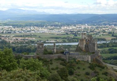
Aubignas Chenavari 17km


Marche
Difficile
Aubignas,
Auvergne-Rhône-Alpes,
Ardèche,
France

16,5 km | 25 km-effort
5h 20min
Oui

Aubignas tour coiron all mountain


V.T.T.
Difficile
(2)
Aubignas,
Auvergne-Rhône-Alpes,
Ardèche,
France

20 km | 30 km-effort
1h 54min
Non

COIRON boucle sympa


V.T.T.
Moyen
(2)
Sceautres,
Auvergne-Rhône-Alpes,
Ardèche,
France

7,4 km | 10,4 km-effort
1h 10min
Oui
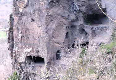
07 balmes montbrun Mirabel zel 29.03.23


Marche
Moyen
Saint-Jean-le-Centenier,
Auvergne-Rhône-Alpes,
Ardèche,
France

19 km | 28 km-effort
7h 44min
Oui
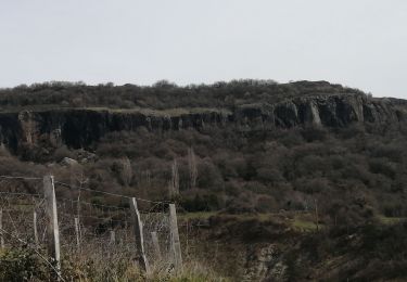
Saint pons


Marche
Moyen
Saint-Pons,
Auvergne-Rhône-Alpes,
Ardèche,
France

16,1 km | 23 km-effort
5h 0min
Oui
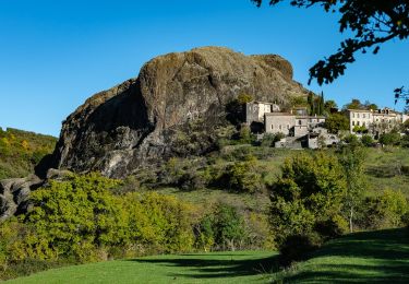
Aubignas-La carrière 12km


Marche
Difficile
Aubignas,
Auvergne-Rhône-Alpes,
Ardèche,
France

11,8 km | 16,9 km-effort
3h 41min
Oui


 SityTrail


