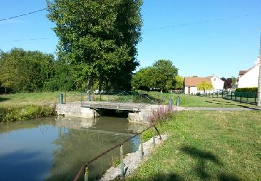
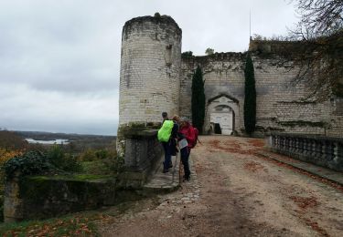
28 km | 31 km-effort
Châtillon-sur-Cher
levequejef
Utilisateur
Longueur
24 km
Altitude max
114 m
Dénivelé positif
200 m
Km-Effort
27 km
Altitude min
73 m
Dénivelé négatif
202 m
Boucle
Oui
Date de création :
2020-01-05 06:47:40.525
Dernière modification :
2020-01-05 10:12:03.882
3h23
Difficulté : Très facile
Application GPS de randonnée GRATUITE
À propos
Randonnée Course à pied de 24 km à découvrir à Centre-Val de Loire, Loir-et-Cher, Châtillon-sur-Cher. Cette randonnée est proposée par levequejef.
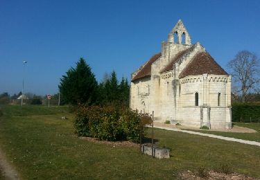
Localisation
Pays :
France
Région :
Centre-Val de Loire
Département/Province :
Loir-et-Cher
Commune :
Châtillon-sur-Cher
Localité :
Unknown
Départ:(Dec)
Départ:(UTM)
386117 ; 5236973 (31T) N.
Commentaires
Randonnées à proximité
selles sur cher à saint aignan par le canal
Marche
Facile
Selles-sur-Cher,
Centre-Val de Loire,
Loir-et-Cher,
France
6h 17min
Oui
chatillon
Marche
Très facile
Selles-sur-Cher,
Centre-Val de Loire,
Loir-et-Cher,
France
16 km | 17,8 km-effort
2h 58min
Oui
le puits de saray - tesnières
Marche
Très difficile
Lye,
Centre-Val de Loire,
Indre,
France
25 km | 30 km-effort
5h 12min
Non
Châtillon sur cher pont canal
Marche
Facile
Châtillon-sur-Cher,
Centre-Val de Loire,
Loir-et-Cher,
France
11,9 km | 13,5 km-effort
2h 52min
Oui
Châtillon sur cher
Marche
Moyen
Châtillon-sur-Cher,
Centre-Val de Loire,
Loir-et-Cher,
France
25 km | 28 km-effort
4h 32min
Oui
billy
Marche
Très facile
Billy,
Centre-Val de Loire,
Loir-et-Cher,
France
11,9 km | 12,9 km-effort
2h 51min
Oui
billy
Marche
Facile
Billy,
Centre-Val de Loire,
Loir-et-Cher,
France
19,5 km | 21 km-effort
3h 25min
Oui
selles sur cher
Marche
Très facile
Selles-sur-Cher,
Centre-Val de Loire,
Loir-et-Cher,
France
19,6 km | 21 km-effort
3h 13min
Oui
meusnes
Marche
Très facile
Meusnes,
Centre-Val de Loire,
Loir-et-Cher,
France
12,7 km | 14,5 km-effort
3h 5min
Oui