


9,3 km | 10,7 km-effort


Utilisateur


Application GPS de randonnée GRATUITE
 SityTrail
IGN / Instituts géographiques
SityTrail World
Le monde est à vous
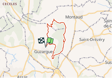
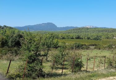
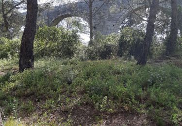
Randonnée A pied de 12,4 km à découvrir à Occitanie, Hérault, Guzargues. Cette randonnée est proposée par guiller.
Guzargues, crête coté est , monter jusqu'à l'antenne, (mer visible, monts ventoux, cévennes), aller au nord, passer à la source de font counillière, (si passage par source de font salaison circuit de 15 kms ) sens inverse des aiguilles d'une montre

Marche
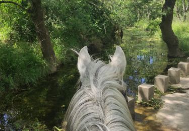
Randonnée équestre

A pied

Marche
A pied
Marche