


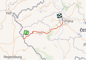

9,9 km | 12,8 km-effort


Utilisateur


Application GPS de randonnée GRATUITE
 SityTrail
IGN / Instituts géographiques
SityTrail World
Le monde est à vous
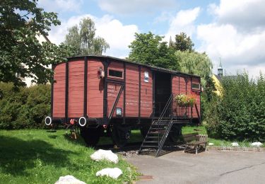
Randonnée Vélo électrique de 215 km à découvrir à Bavière, Landkreis Neustadt an der Waldnaab, Eslarn. Cette randonnée est proposée par marcalfred.
A pied
A pied
A pied
A pied
A pied
A pied
A pied
A pied
A pied