


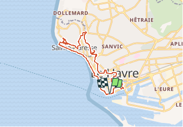

14,2 km | 17 km-effort


Utilisateur


Application GPS de randonnée GRATUITE
 SityTrail
IGN / Instituts géographiques
SityTrail World
Le monde est à vous
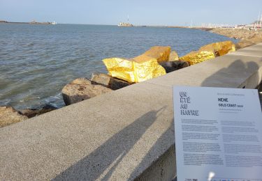
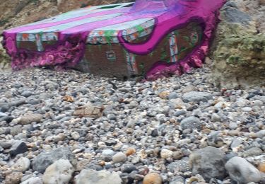
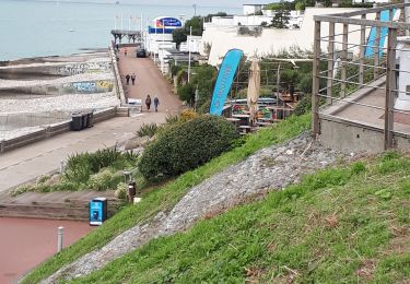
Randonnée A pied de 14,2 km à découvrir à Normandie, Seine-Maritime, Le Havre. Cette randonnée est proposée par MOIBRIGGE.
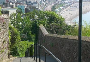
Découverte de la ville du Havre, son port, sa plage et son "nice havrais". Départ du parking du quai des Abeilles, Chaussée John Kennedy.
Marche
A pied

Marche

A pied
Marche
Marche
Marche nordique
Marche
Marche