


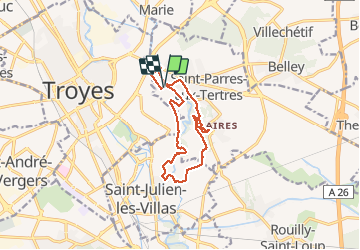

12,9 km | 13,9 km-effort

Utilisateur


Application GPS de randonnée GRATUITE
 SityTrail
IGN / Instituts géographiques
SityTrail World
Le monde est à vous
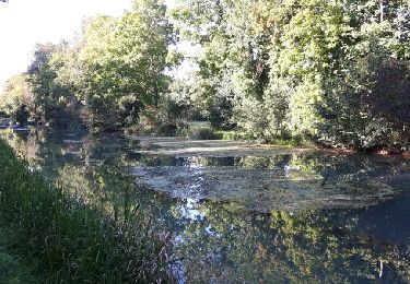
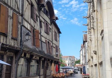
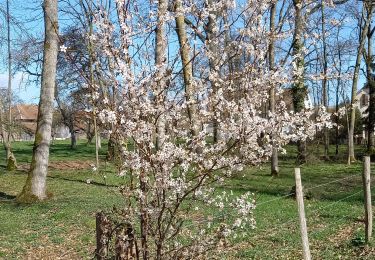
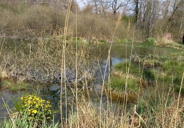
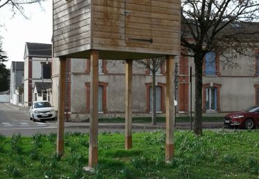
Randonnée Marche de 11,5 km à découvrir à Grand Est, Aube, Saint-Parres-aux-Tertres. Cette randonnée est proposée par Arnaud de Charrin.


Marche
Marche
Marche
Marche
Marche

Marche

Marche