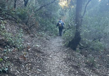
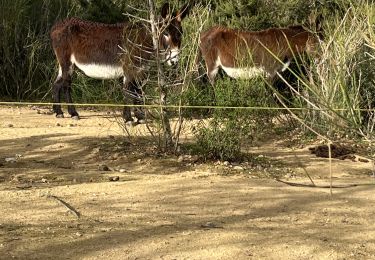
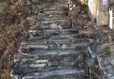
Randonnée Marche Rodès - En passant par Rigarda - Photo
 ThonyM
ThonyM

Utilisateur

© OpenStreetMap contributors
Longueur
Longueur
9,3 km
Altitude max
Altitude max
355 m
Dénivelé positif
Dénivelé positif
238 m
Km-Effort
Km-Effort  
12,4 km
Altitude min
Altitude min
232 m
Dénivelé négatif
Dénivelé négatif
237 m
Boucle
Boucle
Oui
Date de création :
2019-11-25 12:48:00.0
Dernière modification :
2019-11-25 15:38:44.558

(0 Avis)

Marche
Marche
2h50
Difficulté : Moyen

Scannez ce code QR pour ouvrir la randonnée dans l'application SityTrail

Application GPS de randonnée GRATUITE

Logo SityTrail SityTrail

IGN / Instituts géographiques

Télécharger SityTrail sur l'App Store Télécharger SityTrail sur Google Play

Logo SityTrail SityTrail World

Le monde est à vous

Télécharger SityTrail sur l'App Store Télécharger SityTrail sur Google Play Télécharger SityTrail sur Huawei AppGallery

À propos

Randonnée Marche de 9,3 km à découvrir à Occitanie, Pyrénées-Orientales, Rodès. Cette randonnée est proposée par ThonyM.

Description

Belle promenade tranquille

Profil altimétrique

Photos

Localisation

Pays :
France
Région :
Occitanie
Département/Province :
Pyrénées-Orientales
Commune :
Rodès
Localité :
Unknown
Départ:(Dec)
Départ:(UTM)
463550 ; 4721196 (31T) N.

Randonnées à proximité

Randonnée Marche Ille-sur-Têt - ILLE TÊT 66 - PIC PEDROUS - CASESNOVES - Photo
Marche
jeff66

Marche

Moyen
(10)
Ille-sur-Têt, Occitanie, Pyrénées-Orientales, France
11 km | 15,3 km-effort
2h 22min
Oui
Randonnée V.T.T. Vinça - parcours ronde de Sahorle 2013 - Photo
V.T.T.
micleo66

V.T.T.

Moyen
(1)
Vinça, Occitanie, Pyrénées-Orientales, France
17 km | 22 km-effort
1h 27min
Oui
Randonnée Marche Ille-sur-Têt - puig pedros  - Photo
Marche
GUIDE
stef789

Marche

Moyen
Ille-sur-Têt, Occitanie, Pyrénées-Orientales, France
11,7 km | 15,6 km-effort
3h 57min
Oui
Randonnée Marche Arboussols - Marcevol  - Photo
Marche
francineposkin

Marche

Très difficile
Arboussols, Occitanie, Pyrénées-Orientales, France
15,9 km | 23 km-effort
6h 58min
Oui
Randonnée Marche Boule-d'Amont - 20240104 Tour depuis le prieuré de Serrabonne  - Photo
Marche
ThonyM

Marche

Moyen
Boule-d'Amont, Occitanie, Pyrénées-Orientales, France
15,2 km | 26 km-effort
4h 37min
Oui
Randonnée Marche Rodès - 20221222  Rodés - Domanova…. Boucle  - Photo
Marche
ThonyM

Marche

Moyen
Rodès, Occitanie, Pyrénées-Orientales, France
21 km | 33 km-effort
5h 49min
Oui
Randonnée Marche Ille-sur-Têt - Ille st jules - Photo
Marche
66Gribouille83

Marche

Difficile
Ille-sur-Têt, Occitanie, Pyrénées-Orientales, France
11,2 km | 12,7 km-effort
3h 2min
Oui
Randonnée Marche Rodès - Gorges de la Guillera - Photo
Marche
Dadou 1

Marche

Facile
Rodès, Occitanie, Pyrénées-Orientales, France
3,2 km | 4,9 km-effort
1h 37min
Oui
Randonnée Marche Rodès - 20220217 au départ de Rodes - Photo
Marche
ThonyM

Marche

Moyen
Rodès, Occitanie, Pyrénées-Orientales, France
15,2 km | 26 km-effort
4h 56min
Oui


Fermer
Mes abonnements