


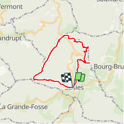

10,2 km | 16 km-effort

Utilisateur


Application GPS de randonnée GRATUITE
 SityTrail
IGN / Instituts géographiques
SityTrail World
Le monde est à vous
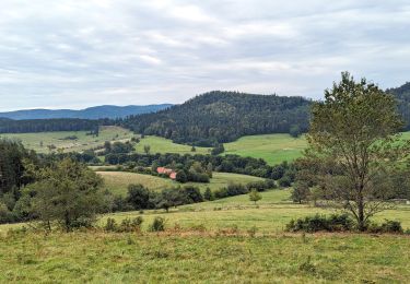
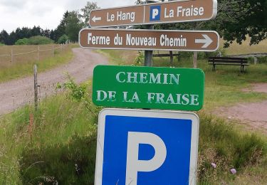
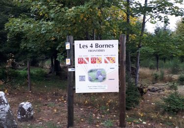
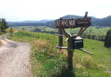
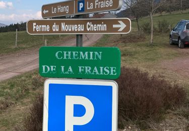
Randonnée Marche de 13,5 km à découvrir à Grand Est, Bas-Rhin, Saales. Cette randonnée est proposée par VacheKiri67.
Faite le 13/10/2013 en 4h45 (dont 0h30 de pause) avec notre fils de 9 ans.
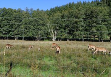
Durée rallongée pour cause de cueillette de champignons !
Plus de détails : Passion Vosges - La Haute-Bruche N°23 Page 87 : Les crêtes de Saâles.


Marche
Randonnée équestre

Randonnée équestre
Marche
A pied
Marche
Vélo électrique
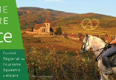
Randonnée équestre
Marche