


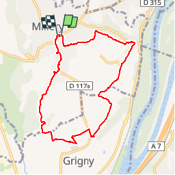

23 km | 27 km-effort


Utilisateur


Application GPS de randonnée GRATUITE
 SityTrail
IGN / Instituts géographiques
SityTrail World
Le monde est à vous
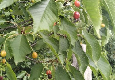
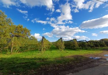
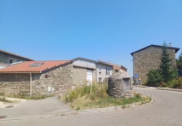
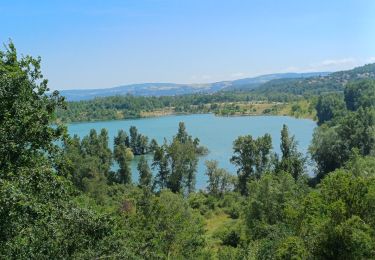
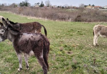
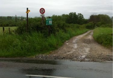
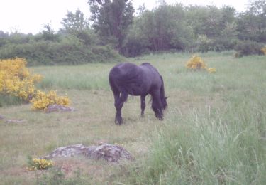
Randonnée Marche de 9,2 km à découvrir à Auvergne-Rhône-Alpes, Rhône, Millery. Cette randonnée est proposée par cacrhone.
randonnée
V.T.T.
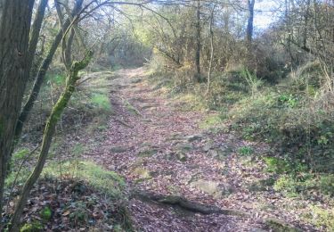
Marche
Marche
Marche
Marche
Marche

Marche
V.T.T.
Marche
fait en 1 h 40
nous sommes très contents