


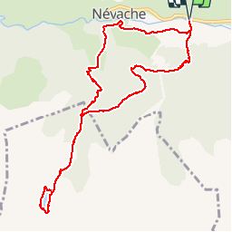

15,5 km | 28 km-effort

La Clarée un must pour randonner alors à nous d'en profiter ....


Application GPS de randonnée GRATUITE
 SityTrail
IGN / Instituts géographiques
SityTrail World
Le monde est à vous
Randonnée Marche de 10,9 km à découvrir à Provence-Alpes-Côte d'Azur, Hautes-Alpes, Névache. Cette randonnée est proposée par Névache Aout 2020 REV 83.
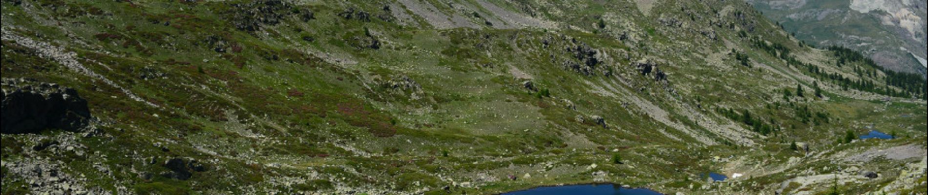
REV 2020 J2 Groupe 2 Montée au lac du Cristol et Retour par Névache


Marche

Marche

Marche

Marche

Marche

Marche

Marche

Marche

Marche