


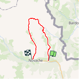

15,5 km | 28 km-effort

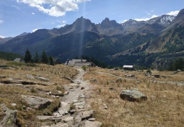
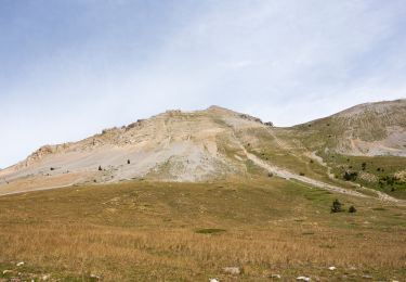
La Clarée un must pour randonner alors à nous d'en profiter ....


Application GPS de randonnée GRATUITE
 SityTrail
IGN / Instituts géographiques
SityTrail World
Le monde est à vous
Randonnée Marche de 21 km à découvrir à Provence-Alpes-Côte d'Azur, Hautes-Alpes, Névache. Cette randonnée est proposée par Névache Aout 2020 REV 83.
Roubion Col des Thures Vallée Etroite (Italie) Maison des Chamois Col du Vallon Névache
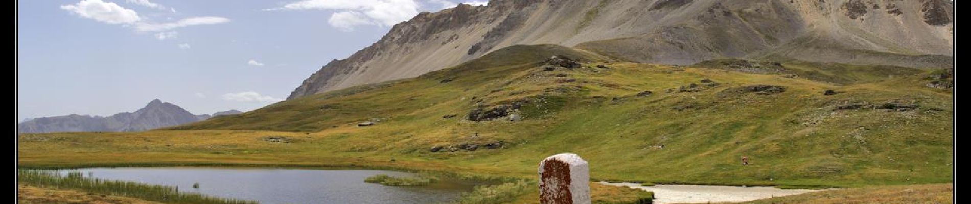
 Col des Thures Vallée Etroite Col du Vallon - Photo 1")

Marche

Marche

Marche

Marche

Marche

Marche

Marche
Marche
Marche