


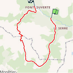

10 km | 18 km-effort

La Clarée un must pour randonner alors à nous d'en profiter ....


Application GPS de randonnée GRATUITE
 SityTrail
IGN / Instituts géographiques
SityTrail World
Le monde est à vous
Randonnée Marche de 15,4 km à découvrir à Provence-Alpes-Côte d'Azur, Hautes-Alpes, Névache. Cette randonnée est proposée par Névache Aout 2020 REV 83.
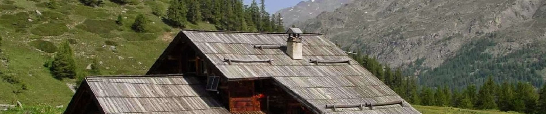
Pont de Souchère Refuge de Buffère Col de Buffère Combe la la Moulette Col Roche Noire Refuge Chardonnet


Marche

Marche

Marche

Marche

Marche

Marche

Marche

Marche

Marche