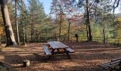

2019-11-16 Marche Wangenbourg Castelberg

holtzv
Utilisateur GUIDE

Longueur
19,8 km

Altitude max
623 m

Dénivelé positif
834 m

Km-Effort
31 km

Altitude min
295 m

Dénivelé négatif
837 m
Boucle
Oui
Date de création :
2019-11-16 11:19:45.374
Dernière modification :
2019-11-17 15:44:11.681
4h51
Difficulté : Très facile

Application GPS de randonnée GRATUITE
À propos
Randonnée Marche de 19,8 km à découvrir à Grand Est, Bas-Rhin, Wangenbourg-Engenthal. Cette randonnée est proposée par holtzv.
Description
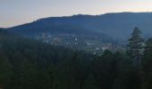
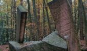
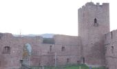
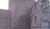
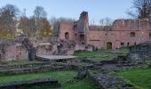
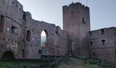
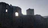
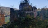
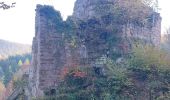
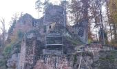
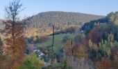
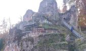
19,8 km d 840m par Rocher du Gihr, le Bischofslaeger, le Castelberg et sa grotte, l'abri du Heidenschloss, le Rotfels, les ruines du Freundeneck, le château de wagenbourg et le sentiers des sculptures
Localisation
Pays :
France
Région :
Grand Est
Département/Province :
Bas-Rhin
Commune :
Wangenbourg-Engenthal
Localité :
Unknown
Départ:(Dec)
Départ:(UTM)
375932 ; 5384556 (32U) N.
Commentaires
Randonnées à proximité

2013-05-10 Marche Rocher de Mutzig par Nideck


Marche
Moyen
(1)
Lutzelhouse,
Grand Est,
Bas-Rhin,
France

14,9 km | 24 km-effort
4h 10min
Oui
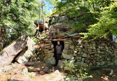
2022-07-10 Picnic CVA Umwurf depuis Oberhaslach


Randonnée équestre
Difficile
Still,
Grand Est,
Bas-Rhin,
France

28 km | 40 km-effort
5h 53min
Oui

2021-09-09 Journée cosswiller Wangenbourg


Randonnée équestre
Moyen
Romanswiller,
Grand Est,
Bas-Rhin,
France

21 km | 29 km-effort
4h 12min
Oui
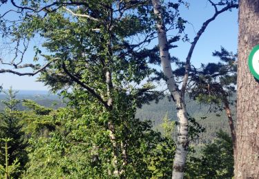
2020-06-01 Marche Hengst


Marche
Très facile
Dabo,
Grand Est,
Moselle,
France

13,8 km | 18,7 km-effort
4h 18min
Oui
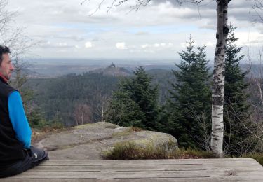
2020-03-14 Marche Engenthal le bas


Marche
Très facile
Wangenbourg-Engenthal,
Grand Est,
Bas-Rhin,
France

14,3 km | 22 km-effort
4h 27min
Oui

2017-02-24 Marche Schneeberg


Marche
Très facile
(1)
Wangenbourg-Engenthal,
Grand Est,
Bas-Rhin,
France

12,8 km | 19,9 km-effort
Inconnu
Oui
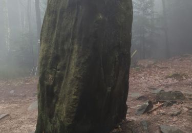
obersteigen


Marche
Difficile
Wangenbourg-Engenthal,
Grand Est,
Bas-Rhin,
France

44 km | 59 km-effort
5h 56min
Non
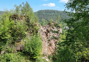
ARCA WANGENBOURG


Marche
Moyen
Wangenbourg-Engenthal,
Grand Est,
Bas-Rhin,
France

13,2 km | 19 km-effort
4h 19min
Oui
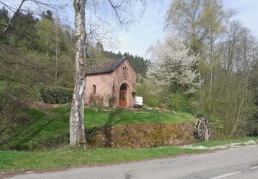
2024-04 Porte de Pierre


Marche
Moyen
(1)
Lutzelhouse,
Grand Est,
Bas-Rhin,
France

15,8 km | 24 km-effort
3h 53min
Oui


 SityTrail


