


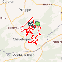

18,9 km | 24 km-effort

Utilisateur


Application GPS de randonnée GRATUITE
 SityTrail
IGN / Instituts géographiques
SityTrail World
Le monde est à vous
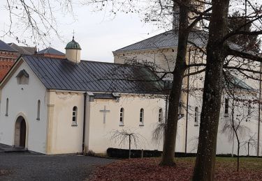
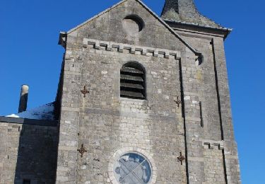
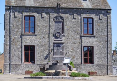
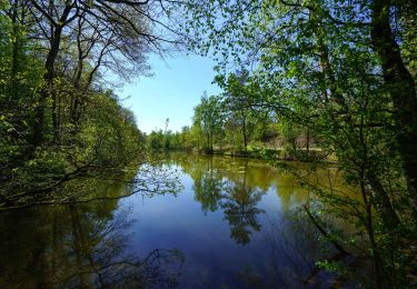
Randonnée Marche de 19,2 km à découvrir à Wallonie, Namur, Ciney. Cette randonnée est proposée par jeangulu.
Les Fougnans
16ème marche d'automne dans le domaine
Marche du 35ème anniversaire
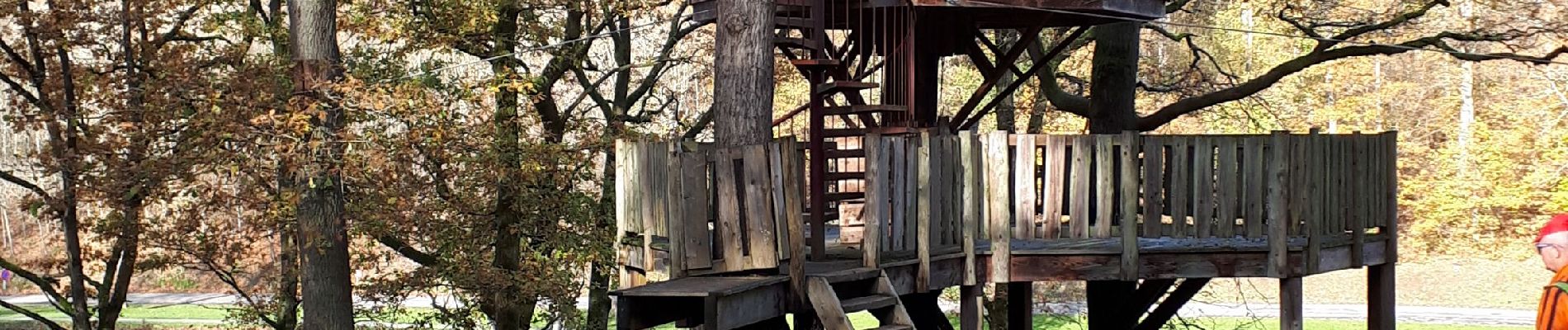
magnifique parcours beaucoup de forêts sentier nains sentier Martine parcours Disney à refaire


Marche

Marche
Marche
Marche

Marche
Marche

Randonnée équestre
A pied
A pied